Woodford Valley
![]()
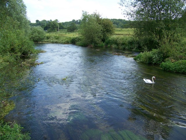
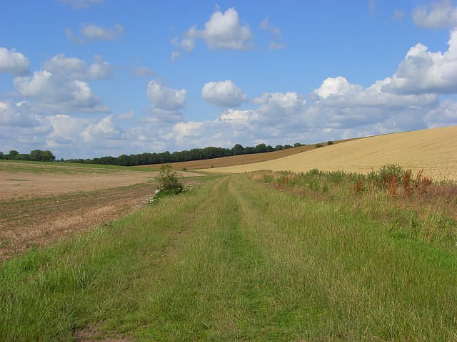
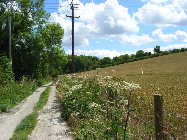
![]() Enjoy riverside trails, rolling Wiltshire countryside and views of Stonehenge on this circular walk through the beautiful Woodford Valley.
Enjoy riverside trails, rolling Wiltshire countryside and views of Stonehenge on this circular walk through the beautiful Woodford Valley.
The walk starts in the town of Amesbury in the parking area next to the River Avon. Cross the river and then follow the riverside path to Moor Hatches and Normanton where you cross over on the footbridge.
At Normanton head south toward Wilsford Manor before picking up a footpath to Springbottom Farm. Just to the north of here you can visit the Normanton Barrows and the iconic Stonehenge.
Tracks then take you to Lake Bottom, Durnford Mill and Great Durnford. Here you can visit the interesting Norman Church, admire the delightful thatched cottages and enjoy refreshments at the Black Horse pub. The converted mill is also very picturesque with its riverside location and weeping willows.
After passing through Great Dunford the walk continues north through Ham Wood before returning to Amesbury.
To continue your walking in the area you can try the Amesbury to Stonehenge Walk or pick up the long distance Salisbury Country Way which runs through the town.
Postcode
- Please note: Postcode may be approximate for some rural locationsWoodford Valley Ordnance Survey Map  - view and print off detailed OS map
Woodford Valley Open Street Map  - view and print off detailed map
Woodford Valley OS Map  - Mobile GPS OS Map with Location tracking
Woodford Valley Open Street Map  - Mobile GPS Map with Location tracking
Pubs/Cafes
There's lots of good options in nearby Amesbury and Durrington for refreshments but we'd recommend a trip down to the nearby village of Upper Woodford. Here you'll find the splendid Bridge Inn. The main attraction here is the lovely, large riverside garden area where you can relax and enjoy refreshments in an idyllic setting. Indoors there's a nice light country-style decor with sofas. They also have a very good menu and drinks selection. You can find the inn a couple of miles south of Stonehenge, in Upper Woodford, right next to the River Avon. Postcode for your sat navs is SP4 6NU.


