Worthington Lakes
![]()
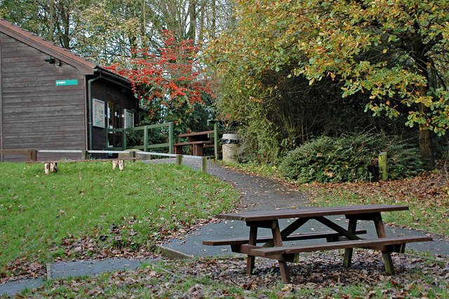
![]() This lovely walk takes you around Worthington Lakes in Standish, Lancashire. You will pass along the footpaths around the three reservoirs that make up this country park and nature reserve.
This lovely walk takes you around Worthington Lakes in Standish, Lancashire. You will pass along the footpaths around the three reservoirs that make up this country park and nature reserve.
The walk can be started from the car park located towards the southern end of the lakes. On the way look out for a variety of water loving birds on the water and woodland flowers in the warmer months.
The Leeds and Liverpool Canal runs just to the east of the park. You could pick up the towpath and head north to Adlington and Chorley to extend your walk. The park is located near Adlington and Chorley.
Postcode
WN1 2XP - Please note: Postcode may be approximate for some rural locationsPlease click here for more information
Worthington Lakes Ordnance Survey Map  - view and print off detailed OS map
Worthington Lakes Open Street Map  - view and print off detailed map
Worthington Lakes OS Map  - Mobile GPS OS Map with Location tracking
Worthington Lakes Open Street Map  - Mobile GPS Map with Location tracking
Pubs/Cafes
The Owls at Standish is located a short distance west of the lakes. The old red-brick pub includes a charming interior with exposed beams and hardwood floors. They serve good quality food and have a nice outdoor area with a pond. You can find them on Rectory Lane with a postcode of WN6 0XD for your sat navs.
Dog Walking
Dogs are not permitted at the site.
Further Information and Other Local Ideas
Head a few miles north east and you can enjoy more waterside walking around Rivington Reservoir and try the climb to the popular Rivington Pike.
For more walking ideas in the area see the Lancashire Walks page.


