Wotton-under-Edge Circular Walk
![]()
![]() A circular walk around this pretty Cotswolds town using the Cotswold Way and other public footpaths. It's about a 5 mile walk so should take roughly 2 to 3 hrs to complete.
A circular walk around this pretty Cotswolds town using the Cotswold Way and other public footpaths. It's about a 5 mile walk so should take roughly 2 to 3 hrs to complete.
The walk starts in the centre of the town and takes you through farmland to Wortley before climbing through the woodland on Wortley Hill. The route then passes Newark Park where you have the option to explore the lovely 700 acre estate. The extensive park includes lakes, gardens and more woodland trails.
After leaving the park the route descends to Coombe and Holywell before returning to the town.
To extend your walk you can visit Westridge Woods just to the north west of the town. You can follow the Cotswold Way to the site which includes the Tyndale Monument.
The 19th century tower was built in honour of†William Tyndale, a†translator†of the†New Testament who was born in the area.†The tower is next to the geologically significant Nibley Knoll which shows a thick section of Lower and Middle†Jurassic†rocks.
Wotton-under-Edge Circular Walk Ordnance Survey Map  - view and print off detailed OS map
Wotton-under-Edge Circular Walk Open Street Map  - view and print off detailed map
*New* - Walks and Cycle Routes Near Me Map - Waymarked Routes and Mountain Bike Trails>>
Wotton-under-Edge Circular Walk OS Map  - Mobile GPS OS Map with Location tracking
Wotton-under-Edge Circular Walk Open Street Map  - Mobile GPS Map with Location tracking
Pubs/Cafes
The Star Inn is a classic Cotswold stone pub dating back to the 16th century. In the charming interior there's also historical memorabilia of the White Star Line shipping company which was famous for the ill-fated Titanic. John Cambridge, who started the company, was born in the pub in 1784. They serve good quality food and also have a fine selection of ales.†You can find them at 21, Market Street with a postcode of GL12 7AE for your sat navs.
Dog Walking
The country trails and woodland footpaths in Wortley Woods make for a fine dog walk. The Star Inn mentioned above is also dog friendly.
Further Information and Other Local Ideas
Wotton Hill is located just to the north west of the town. It's another good place for a local walk with fine views over the Cotswolds from the summit. The hill lies on the Jurassic limestone scarp of the Cotswolds and includes woodland, scrub, grassland and old quarries.
Just a few miles to the south you could pick up the circular Hawkesbury Upton Walk and visit the National Trust's Horton Court. The Grade I listed manor house dates back to the 16th century and is surrounded by some pretty gardens. In the area there's also a historic 400 year old pub and the Somerset Monument to visit.
Just south of Wotton-Under-Edge there's Kingswood where you could visit the 15th century Abbey Gatehouse. The historic site is owned by English Heritage and is all that survives of the former Cistercian abbey.
For more walking ideas in the area see the Cotswolds Walks page.
Cycle Routes and Walking Routes Nearby
Photos
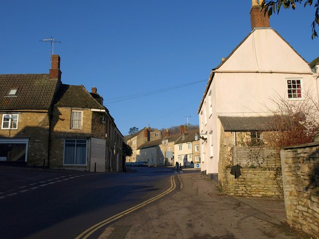
The foot of Old Town seen from The Cloud. No 1 Church Street, the house on the left-hand corner, is listed separately for each frontage, a distinction usually found only in structures that cross parish boundaries, such as bridges. The house on the right is No 2 Church Street†but isn't really on Church Street, although it is visible along its whole length.
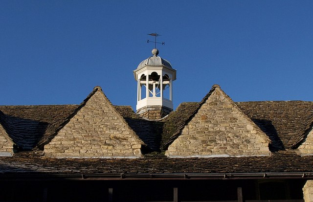
Hugh Perry Almshouses. The hexagonal wood cupola that surmounts the roof of the C17-C18 almshouses†on Church Street, which can be seen on the left of the†Falcon Inn. "Hugh Perry was a merchant and Alderman of the City of London. He bequeathed £300 for the building of the Almshouses"
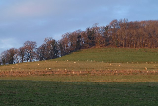
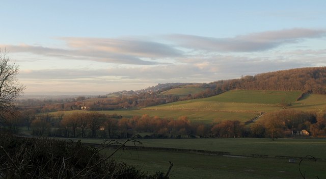
View southwards from Newark Park. Reckoned to be one of the best views in Gloucestershire, this is the view southwards from the terrace of Newark Park. If anything the views from inside the house are even better as they are from a higher vantage point.
