Derwent Walk Country Park

 The Derwent Walk is a former railway path running from Swalwell, near Gateshead, to Consett alongside the River Derwent and is suitable for walkers and cyclists.
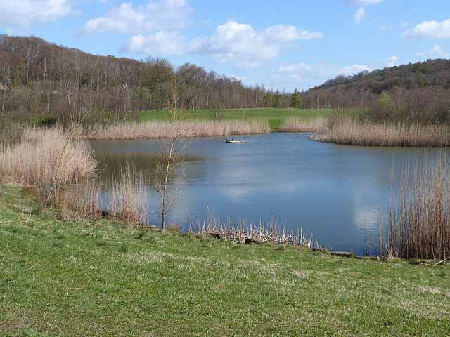
The Derwent Walk Country Park is situated on the path and contains a mixture of woodland, meadows and wetlands. There is also the pretty Clockburn Lake located in Derwenthaugh Park. There are a number of excellent waymarked trails, taking you along the river and through Thornley Woods. You can get further information from the Thornley Wood Visitor Centre located at Thornley Lane, Rowlands Gill NE39 1AU.
A wide variety of wildlife visits the park such as great spotted woodpecker, nuthatch, sparrowhawk, fox, badger and roe deer. Also look out for kingfisher, dipper and otter around the river.
The park is located a few miles west of Gateshead, near Blaydon and Ebchester.
Please click here for more information
Derwent Walk Country Park Ordnance Survey Map  - view and print off detailed OS map
Derwent Walk Country Park Open Street Map  - view and print off detailed map
Derwent Walk Country Park OS Map  - Mobile GPS OS Map with Location tracking
Derwent Walk Country Park Open Street Map  - Mobile GPS Map with Location tracking
Pubs/Cafes
If you fancy a pub lunch then the Red Kite is located in Winlanton Mill just to the north of the path, near Thornley Woods. They serve good quality dishes and have a nice garden area with views of the surrounding woods and countryside. You can find them at Spa Well Road, Winlaton Mill, NE21 6RU. They have a car park and a restaurant area. The pub is also dog friendly.
Further Information and Other Local Ideas
There's lots of good options for continuing your walking in the area. Just to the west of the river you'll find Thornley Woods. There's a good visitor centre and a sculpture trail to try.
Head east and you can visit Watergate Forest Park. The park includes woodland trails, a pretty lake and wildflower meadows.
Just to the south is the popular Gibside where there's an 18th century landscaped park to explore.
Head east and there's Watergate Forest Park to visit. The popular park is located on the site of the former Watergate colliery. It includes woodland trails, a roman fort, a pretty lake and wildflower meadows.
The Keelmans Way passes through the park. This shared cycling and walking path runs along the south side of the river to Wylam where you can pick up the Newburn to Wylam Walk.
Cycle Routes and Walking Routes Nearby
Photos
Former Lintz Green Railway Station. Opened by the North Eastern Railway on 2 December 1867, the station closed on 2 November 1953, although the line survived until 11 November 1963. the trackbed now forms part of the Derwent Walk Country Park. The site is the scene of the unsolved murder of its station master in 1911.


