Mottisfont Estate Circular Walk
![]()
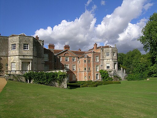
![]() Explore the extensive grounds of this 13th century Augustinian priory on foot or by bike.
Explore the extensive grounds of this 13th century Augustinian priory on foot or by bike.
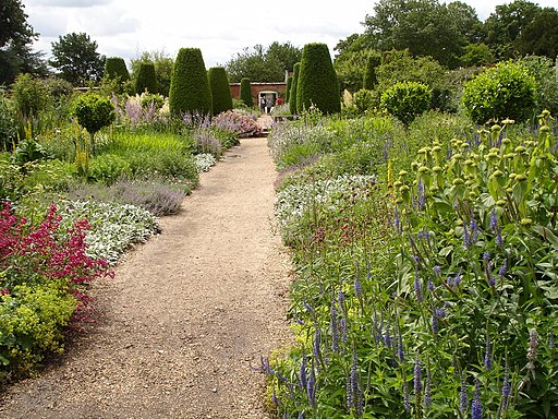
The National Trust owned site includes a museum with regularly changing art exhibitions. There's also a walled rose garden which is home to the National Collection of ancestral species and 19th-century rose cultivars.
There's nice footpaths to follow along the River Test, through woodland and past some lovely wide lawns.
You can reach the abbey by following the Test Way from the nearby town of Romsey. It's about a 5 mile walk from the town, passing Squabb Woods and Awbridge Danes Lakes on the way. The riverside, waymarked path also offers the opportunity for further exploring the countryside surrounding the abbey.
Postcode
SO51 0LP - Please note: Postcode may be approximate for some rural locationsPlease click here for more information
Mottisfont Abbey Ordnance Survey Map  - view and print off detailed OS map
Mottisfont Abbey Open Street Map  - view and print off detailed map
*New* - Walks and Cycle Routes Near Me Map - Waymarked Routes and Mountain Bike Trails>>
Mottisfont Abbey OS Map  - Mobile GPS OS Map with Location tracking
Mottisfont Abbey Open Street Map  - Mobile GPS Map with Location tracking
Pubs/Cafes
The abbey has an on site tea room for refreshments after your walk. At the Victorian Old Kitchen there's indoor seating within the historic surrounds of the kitchen, or you could take a riverside seat outside on the porch.
You could also head half a mile south to the village of Dunbridge and visit the Mill Arms. It's in a lovely spot and includes a new conservatory for looking out over the garden with two open fireplaces indoors for colder days. You can find the pub at Barley Hill, Dunbridge with a postcode of SO51 0LF for your sat navs.
Dog Walking
The estate is a great place for a dog walk, though you are asked to please keep them on short leads. The Mill Arms pub mentioned above is also very dog friendly and will often provide water and biscuits for your canine friend.
Further Information and Other Local Ideas
Mottisfont & Dunbridge railway station is located just a short distance from the site, offering a way to visit the abbey using public transport. The service to the station operates from Salisbury to Southampton Central, via Romsey. The station is managed by South Western Railway, who run an hourly service between Romsey and Salisbury via Southampton Central.
To continue your walking you could follow some nice public footpaths heading west from the site. These will take you along the River Dun towards Dunbridge, Lockerley, Holbury Wood and Tytherley Common.
Cycle Routes and Walking Routes Nearby
Photos
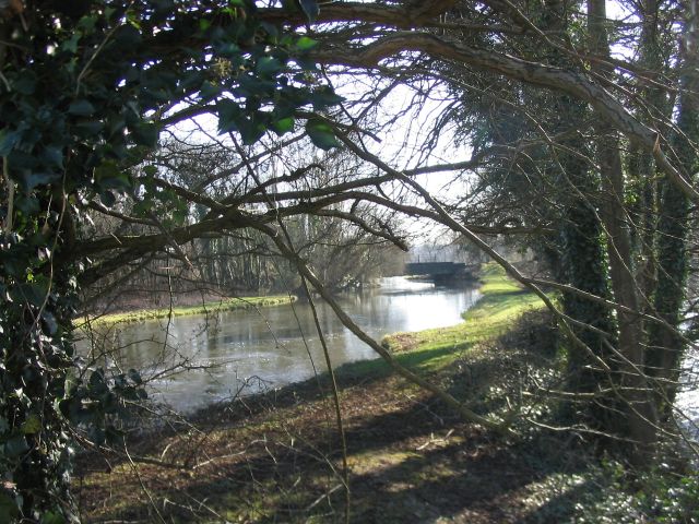
River Test near Mottisfont. The view from beside the east end of the long road bridge: an old railway bridge can just be seen in the distance.
