Albury Park
![]()
![]() Explore the Albury Estate on this pleasant walk in Surrey. There's 150 acres of parkland with lots of walking trails to try. Features include peaceful woodland, pretty lakes and the River Tillingbourne. There is also the Grade II listed Albury country house and the Saxon Old St Peter and St Paul's Church to see.
Explore the Albury Estate on this pleasant walk in Surrey. There's 150 acres of parkland with lots of walking trails to try. Features include peaceful woodland, pretty lakes and the River Tillingbourne. There is also the Grade II listed Albury country house and the Saxon Old St Peter and St Paul's Church to see.
The walk starts from the Grade I listed church and follows footpaths through woodland and parkland to the nearby village of Shere. Here you will find a Norman church, old village houses and a tea room for refreshments. The walk then follows the Fox Way and other footpaths to return you to Albury.
If you'd like to extend your walk then you could continue along the Fox Way to the nearby Blackheath Common. The tranquil Silent Pool is also nearby.
Our 9 mile circular walk from Shere visits the park and also heads to the popular viewpoints at St Martha's Hill and Newlands Corner.
Postcode
GU5 9BB - Please note: Postcode may be approximate for some rural locationsAlbury Park Ordnance Survey Map  - view and print off detailed OS map
Albury Park Open Street Map  - view and print off detailed map
Albury Park OS Map  - Mobile GPS OS Map with Location tracking
Albury Park Open Street Map  - Mobile GPS Map with Location tracking
Further Information and Other Local Ideas
About a mile west of the park you can try the Chilworth Gunpowder Mills Walk. This historical trail takes you along the River Tillingbourne to the ruins of several old Gunpowder Mills. The mills were originally established in 1625 by the East India Company and became an important supplier of gunpowder to the Government during the 17th, 18th and 19th centuries. It's an impressive sight with a number of buildings to explore and informations boards detailing the history of the area. You can access the trail on Blacksmith Lane at a postcode of GU4 8NQ.
For more walking ideas in the area see the North Downs Walks page.
Cycle Routes and Walking Routes Nearby
Photos
Albury Park Mansion. Mansion set in extensive parkland. Here lived the Malthus family (of economics fame) and latterly Henry Drummond (19th century banker and politician). Drummond funded the rebuilding of Albury village 1 mile west, out of Albury Park.
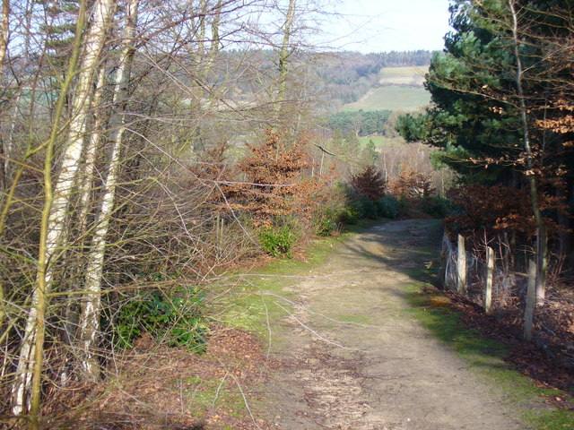
Footpath in the park. Looking downhill, the path is lined by mixed woodland and by rhododendrons. It traverses the private Albury Estate. In the distance is the scarp slope of the North Downs above Sherbourne Farm.
Old Cottages in Albury village to the west of the park. There are several buildings in this area with these distinctive spiral chimneys. This row of cottages includes the old Post Office.


