Lewesdon Hill Walk
![]()
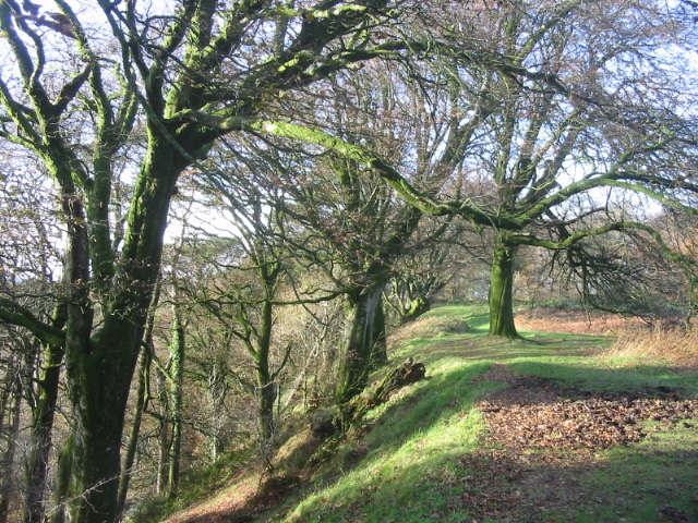
![]() This is a walk to the highest point in Dorset from the small town of Beaminster. It follows the Wessex Ridgeway for just over 3 miles, through some lovely countryside, to the 279 m (915 ft) summit of Lewesdon Hill.
This is a walk to the highest point in Dorset from the small town of Beaminster. It follows the Wessex Ridgeway for just over 3 miles, through some lovely countryside, to the 279 m (915 ft) summit of Lewesdon Hill.
The hill is the site of an Iron Age hill fort and has woodland walking trails to explore. There are good views from the top but these are somewhat obscured by the woods. Nonetheless the views through the trees are extensive with Devon, Somerset and the south coast all visible on a clear day.
If you would like to extend your walk in this lovely area then you could continue west to Pilsdon Pen where there is another hill fort and fabulous views over the area.
Lewesdon Hill Ordnance Survey Map  - view and print off detailed OS map
Lewesdon Hill Open Street Map  - view and print off detailed map
*New* - Walks and Cycle Routes Near Me Map - Waymarked Routes and Mountain Bike Trails>>
Lewesdon Hill OS Map  - Mobile GPS OS Map with Location tracking
Lewesdon Hill Open Street Map  - Mobile GPS Map with Location tracking
Pubs/Cafes
The little village of Broadswindsor is located just to the north of the hill. Here you'll find the White Lion pub which does good food and has a nice outdoor area for finer days. You can find the traditional stone pub in the village at a postcode of DT8 3QD for your sat navs. It's also dog friendly if you have your canine friend with you.
Back in Beaminster there's The Ollerod to consider. The food is of a very high quality and there's a lovely terrace and garden to sit out in on warmer days. You can find them at 3 Prout Bridge DT8 3AY.
The Greyhound is another option in the town centre. They serve good quality pub food and provide a decent selection of ales. You can find them on the Square at postcode DT8 3AW.
Dog Walking
The woods and hills make for a fine walk with your dog. The Greyhound mentioned above is also very dog friendly.
Further Information and Other Local Ideas
The circular Beaminster Walk also starts in the town. It uses part of the Wessex Ridgeway to visit some local historical highlights including Toller Whelme Manor House, Parnham House and Mapperton House with its beautiful gardens.
Head a few miles south west and you could try the National Trust's Lamberts Castle to Coneys Castle Walk. The walk visits two more historic old hill forts with great views to enjoy
For more walking ideas in the area see the Dorset Walks page.


