Linn of Dee Walk
![]()
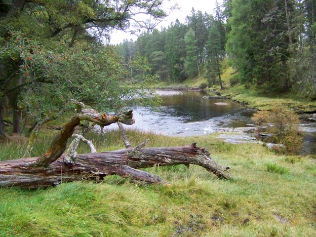
![]() This walk visits the beautiful 300-metre natural rock gorge at the Linn of Dee in the Cairngorms. The walk starts at the Linn of Dee car park (postcode below is approximate) and takes you through woodland to the bridge over the River Dee. The Dee is a popular salmon river with a ladder by the waterfall where the fish have the chance to swim upstream to spawn. It's a lovely spot with the rushing water, pine woodland, the old stone bridge and the rocky gorge. The walk then heads north through Glen Lui along Lui Water to Derry Lodge. This Victorian building was used as a base for shooting parties but is now disused. You can then continue along the pretty Derry Burn with lovely woodland trails and fabulous views of the Cairngorm mountains. The footpaths for most of the walk are very good.
This walk visits the beautiful 300-metre natural rock gorge at the Linn of Dee in the Cairngorms. The walk starts at the Linn of Dee car park (postcode below is approximate) and takes you through woodland to the bridge over the River Dee. The Dee is a popular salmon river with a ladder by the waterfall where the fish have the chance to swim upstream to spawn. It's a lovely spot with the rushing water, pine woodland, the old stone bridge and the rocky gorge. The walk then heads north through Glen Lui along Lui Water to Derry Lodge. This Victorian building was used as a base for shooting parties but is now disused. You can then continue along the pretty Derry Burn with lovely woodland trails and fabulous views of the Cairngorm mountains. The footpaths for most of the walk are very good.
You can continue your walking in this beautiful area by heading a few miles along the road to the east where you will find the splendid Linn of Quoich.
Postcode
AB35 5YB - Please note: Postcode may be approximate for some rural locationsLinn of Dee Ordnance Survey Map  - view and print off detailed OS map
Linn of Dee Open Street Map  - view and print off detailed map
Linn of Dee OS Map  - Mobile GPS OS Map with Location tracking
Linn of Dee Open Street Map  - Mobile GPS Map with Location tracking
Explore the Area with Google Street View 
Further Information and Other Local Ideas
Head east and you can enjoy a challenging climb to Ben Avon. There's some impressive granite tors and wonderful far reaching views from here.
For more walking ideas in the area see the Cairngorms Walks page.
Cycle Routes and Walking Routes Nearby
Photos
River Dee at the Linn of Dee. The source of the River Dee is known as the Wells of Dee which is a spring at a height of 4000 ft on the side of Braeriach. The river flows 87 miles to reach the sea at Aberdeen. Looking downstream.


