4 Abbeys Cycle Route

 This historic circular cycle route explores the countryside of the Scottish Borders. On the way you will visit four historic abbeys at Melrose, Kelso, Jedburgh and Dryburgh.
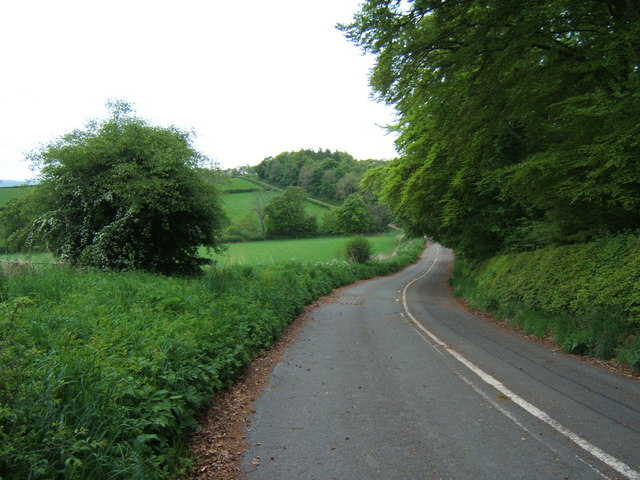
The trail runs for about 56 miles, following a series of country lanes through some lovely countryside.
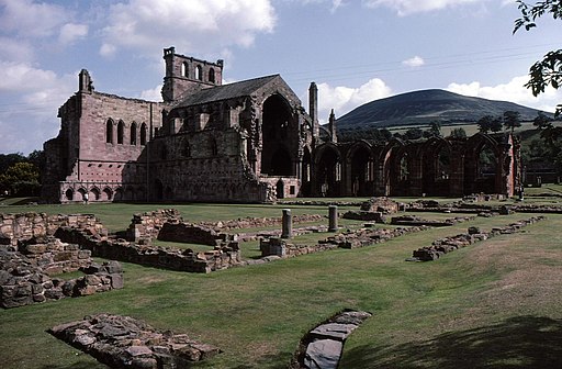
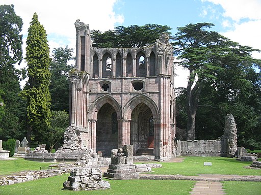
The ride starts from Melrose where you can explore the ruins of the 12th century abbey. It dates from 1136 and is notable as the first Cistercian monastery in Scotland. You then head south east to Dryburgh Abbey which sits in a scenic location on the River Tweed.
You continue east to Kelso where you'll find another medieval ruin located at the confluence of the Tweed and Teviot waters. The ride turns south here following the River Teviot south to Roxburgh, where you can enjoy views of Roxburgh Castle and the Roxburgh Viaduct.
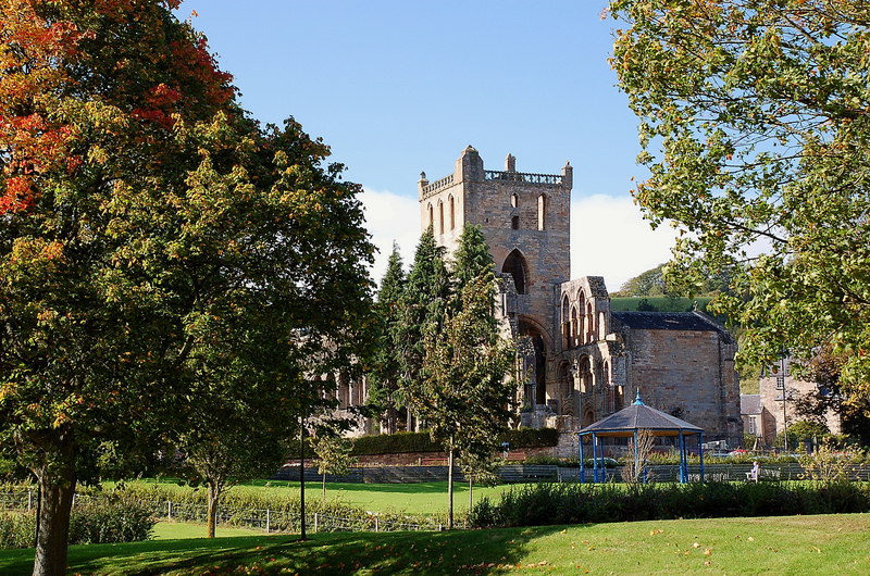
At Morebattle you then turn west to Jedburgh where the abbey sits next to the picturesque Jed Water and includes some wonderful Gothic architecture and a lovely cloister garden.
From here you continue north to Nisbet where the route heads west and then north to return you to Melrose.
The Borders Abbeys Way is the walking equivalent of the route. The waymarked walk also visits the abbeys on a circular route.
You will see it at various points on the OS map below.
The route also links up with the St Cuthbert's Way long distance walk at various stages. For example around Melrose and near Morebattle, at the eastern end of the route.


