Birchington to Sandwich
![]()
![]() Travel along the Viking Coastal Trail from Birchington to Sandwich and enjoy the lovely Kent coastline and coastal towns.
Travel along the Viking Coastal Trail from Birchington to Sandwich and enjoy the lovely Kent coastline and coastal towns.
The route starts at Grenham Bay near Birchington and follows the coastline through Westgate on Sea, Margate, Broadstairs and Ramsgate before turning inland and finishing at the tourist information office in Sandwich.
There's some splendid coastal scenery on this route with St Mildred's Bay and Botany Bay real highlights.
Birchington to Sandwich Ordnance Survey Map  - view and print off detailed OS map
Birchington to Sandwich Open Street Map  - view and print off detailed map
Birchington to Sandwich OS Map  - Mobile GPS OS Map with Location tracking
Birchington to Sandwich Open Street Map  - Mobile GPS Map with Location tracking
Pubs/Cafes
The Turner Contemporary art gallery in Margate is a nice place to visit on the route. It's free to enter and located right on the sea front. Founded to celebrate JMW Turner’s connection to Margate in 2001, the David Chipperfield designed gallery opened in 2011. There's a rolling programme of temporary exhibitions and wide windows showcasing the views that inspired painter J. M. W. Turner. The artist went to school in Margate, and visited the town throughout his life. The gallery also houses a nice cafe which is a good spot for refreshments after your exercise.
Cycle Routes and Walking Routes Nearby
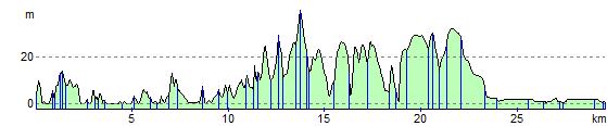
Elevation Profile