Sandwich Walks - Near and Around

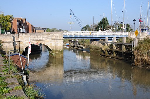
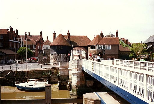
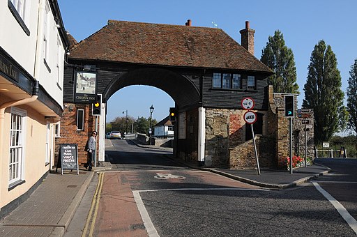
 This old Cinque Port town in Kent is a fine place to start a walk. There's much to see in the historic town with several original medieval buildings including the ancient gates on the town wall, fine old pubs, almshouses and a windmill dating to 1760.
This walk uses sections of the Stour Valley Walk, the White Cliffs Country Trails and the Saxon Shore Way to explore the area surrounding the town. On the way you'll visit the Sandwich Bay Nature Reserve, Royal St George's Golf Course and the Richborough Castle Roman Fort.
The walk starts in the town centre, close to the train station. Here you can pick up the Stour Valley Walk and follow the waymarked footpath east along the river around Sandwich Haven. The route continues to to the coast where you will find the Sandwich Bay Nature Reserve. There's some lovely sea views and lots of wildlife to look out for around here.
Head south along the beach and you will soon come to the White Cliffs Country Trail which you can follow west along Royal St George's. The famous course has been used several times for the Open Championship.
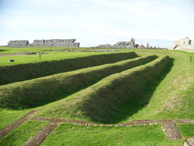
After returning to the town you can head north along the river to visit Richborough Castle. This significant ancient site includes a Roman amphitheatre, huge stone walls, rolling defensive ditches and impressive foundations.
Please click here for more information
Sandwich Ordnance Survey Map  - view and print off detailed OS map
Sandwich Open Street Map  - view and print off detailed map
Sandwich OS Map  - Mobile GPS OS Map with Location tracking
Sandwich Open Street Map  - Mobile GPS Map with Location tracking
Walks near Sandwich
- Pegwell Bay Country Park - This park is located near Ramsgate and has splendid views over Pegwell Bay and Sandwich Bay
- Dover to Deal - This coastal walk takes you from the famous port of Dover to the attractive town of Deal
- Dover Castle - Explore the grounds of the largest castle in England and enjoy fabulous views of the White Cliffs of Dover
- Dover White Cliffs Walk - Enjoy a circular walk along the iconic White Cliffs of Dover on this route along the Kent Coast
- Stour Valley Walk - Follow the River Stour from its source near Lenham to the estuary at Pegwell Bay on the Kent coast
- White Cliffs Country Trails - This circular route takes you on a tour of the beautiful Kent coastline around Dover, before heading inland into the countryside.
You start at Dover and pass the impressive Dover Castle and the famous white cliffs (explore with google street view below) - Saxon Shore Way - Explore Kent's ancient coastline as you visit Iron Age hill forts, cathedrals, Martello towers, historic ports and castles on this incredible 160 mile walk
- Viking Coastal Trail - This signed circular route takes you on a tour of some of Kent's most beautiful coastline and interesting seaside towns
- Reculver Country Park - This country park is located on the Kent coast at Reculver
- Ramsgate to Margate - A popular coastal walk along a section of the Thanet Coastal Path between Ramsgate and Margate
- Margate - This town is located on the north Kent coast near Herne Bay and Ramsgate
Pubs/Cafes
The King's Arms dates back to the 1580s. Elizabeth I visited Sandwich in 1573 and stayed opposite the inn at Kings Lodgings, built for her father, Henry VIII. The depiction of Pan on the corner of the building was carved during Elizabeth's reign and is dated 1592. The ancient building has a charming interior with a splendid fireplace. Outside there's a lovely garden area for warmer days. You can find them on Strand Street at postcode CT13 9HN for your sat navs.
Dog Walking
The river and country trails make for a fine dog walk. The King's Arms mentioned above is also dog friendly.
Further Information and Other Local Ideas
In the town The White Mill Heritage centre is well worth a visit. Here you'll find an old smock mill dating from 1760. There's a museum here where you can learn all about the town's milling history. You can find them at postcode CT13 9JB.
Just to the north you'll find the Pegwell Bay Country Park and Nature Reserve. There's some fine views over Pegwell Bay from the park. You can pick up the Viking Coastal Trail around here and follow it to nearby Ramsgate.
For more walking ideas in the area see the Kent Walks page.


