GPS Cycle and Walking Routes

Bringewood MTB

2 miles (3 km)

This large area of woodland is part of the wider Mortimer Forest near Ludlow.
You can access the trails from near the Vinnalls car park off Kilnhorse Lane at a postcode of SY8 2HF for your sat navs. Head north west from here and you will find a number of red and black trails. The courses have been used for the National Championships. Scroll down for a great video of Pearce Cycles MTB Race in September 2021.

Postcode

SY8 2HF - Please note: Postcode may be approximate for some rural locations

Bringewood OS Map - Mobile GPS OS Map with Location tracking

Bringewood Open Street Map - Mobile GPS Map with Location tracking

Cycle Routes and Walking Routes Nearby

Photos

Downhill course, Bringewood - geograph.org.uk - 2054749

Downhill course, Bringewood

Narrow ride, Bringewood - geograph.org.uk - 2055851

Narrow ride

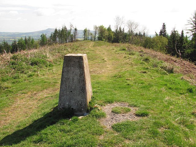
Bringewood trig point - geograph.org.uk - 1840578

Bringewood trig point

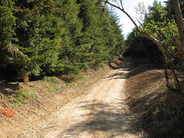
Upgraded road, Bringewood - geograph.org.uk - 2055857

Upgraded road

Video

GPS Files

GPX File

Bringewood.gpx (On Desktop:Right Click>'Save As. On Ipad/Iphone:Click and hold>Share>Save to Files')