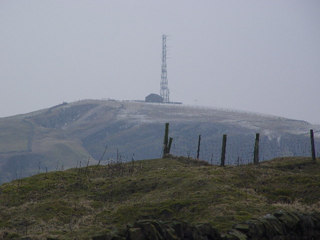
Greenhow Hill
![]()
![]() This challenging route takes you up to Greenhow Hill from Pateley Bridge in Nidderdale. The road has a very steep descent into Pateley Bridge from Greenhow (between 16 and 19%) so please take care on the return. The stretch of road is very popular with cyclists and was part of the 2016 Tour de Yorkshire and is part of the Way of the Roses bike trail.
This challenging route takes you up to Greenhow Hill from Pateley Bridge in Nidderdale. The road has a very steep descent into Pateley Bridge from Greenhow (between 16 and 19%) so please take care on the return. The stretch of road is very popular with cyclists and was part of the 2016 Tour de Yorkshire and is part of the Way of the Roses bike trail.
The ride starts in Pateley Bridge on the bridge over the River Nidd. From here you can follow the road west to Bridgehouse Gate and Strawberry Hill. The road continues to climb past Beweley Moor until you come to the village of Greenhow and Greenhow Hill. The summit stands at a height of 306 feet (398 m) offering fine views over Nidderdale and Wharfedale. The church in the village (St Mary's) is reputedly the highest parish church in England still in use, though services are now only fortnightly on Sunday evenings plus major feast times.
On top of the hill you can stop for refreshments at the Toft Gate Barn Cafe. The popular cafe has a good menu and offers fabulous views over the surrounding area.
This is a linear ride but you could turn it into a circular ride by heading south east from the hill along Redlish Road and then returning to Pateley Bridge on other country lanes.
To continue your cycling in the area head north from Pateley Bridge and enjoy a waterside cycle along the lovely Gouthwaite Reservoir. Not far to the south is Thruscross Reservoir which can be reached by following Redlish Road from the hill. Parts of the Nidderdale Way also run along country lanes in the area and is another good option.


