Meon Valley Trail
![]()
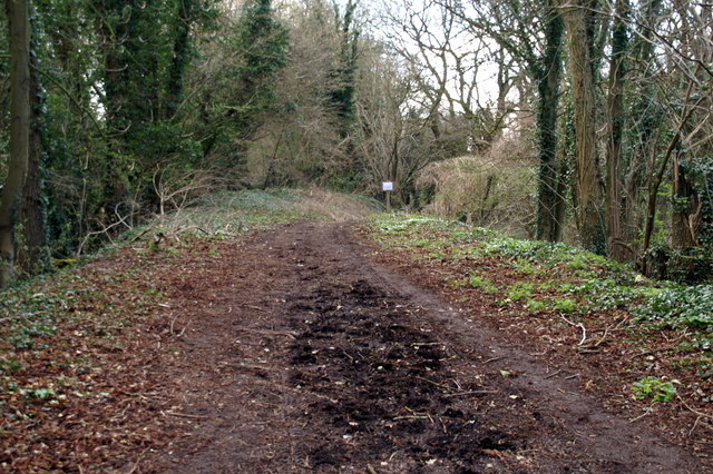
![]() This peaceful cycling and walking trail runs along a disused railway track from West Meon to Wickham via Droxford. There are splendid views of the beautiful Meon Valley and the River Meon to enjoy as well as a variety of wildlife including butterflies, redwing and egrets.
This peaceful cycling and walking trail runs along a disused railway track from West Meon to Wickham via Droxford. There are splendid views of the beautiful Meon Valley and the River Meon to enjoy as well as a variety of wildlife including butterflies, redwing and egrets.
The route is reasonably flat, running along a surfaced path for just under 10 miles.
Near Wickham the route skirts the edge of the Forest of Bere. You can pick up the trails in the West Walk area of the forest to extend your exercise.
Our Meonstoke Walk and West Meon Walk use part of the trail to take you on a tour of the area surrounding the villages. There's some splendid views of the South Downs countryside which surrounds the trail.
Meon Valley Trail Ordnance Survey Map  - view and print off detailed OS map
Meon Valley Trail Open Street Map  - view and print off detailed map
Meon Valley Trail OS Map  - Mobile GPS OS Map with Location tracking
Meon Valley Trail Open Street Map  - Mobile GPS Map with Location tracking
Pubs/Cafes
The Square Cow in Wickham is a good choice for refreshments after your exercise. It has some history having originally been “The Old Curio Shop”, an open hall timber framed building dating back to the sixteenth Century. Inside there are medieval paintings with floral/geometric patterns preserved behind glass and still on display. They do lovely home cooked food which you can enjoy in the pretty garden area if the weather is fine. You can find the pub on Wickham Square with a postcode of PO17 5JN for your sat navs.
In Meonstoke there's the Bucks Head to investigate. The quaint inn is located in a fine spot close to the river and boasts a lovely garden area. You can find them on Shoe Lane, Exton with a postcode of SO32 3NT.
Dog Walking
The trail is good for dog walking though you may want to keep them on leads because of the cyclists. The Square Cow pub mentioned above is also dog friendly.
Further Information and Other Local Ideas
The Wickham Railway Walk uses a section of the trail and the waymarked King's Way to create a circular walk around the village. The walk first follows the old railway line along the River Meon before heading to the countryside and woodland of the Forest of Bere. It's a nice varied walk and a good way to explore the surrounding area.
For more walking ideas in the area see the South Downs Walks page.
Cycle Routes and Walking Routes Nearby
Photos
Looking south to the dismantled bridge at Peake New Road. The trail descends to the right to cross the road
Elevation Profile


