National Cycle Route 77 - The Salmon Run

 National Cycle Route 77 runs from Dundee to Perth and Pitlochry for a distance of about 54 miles. On the way there are some splendid riverside sections, traffic free paths and some challenging climbs with excellent views over the area.
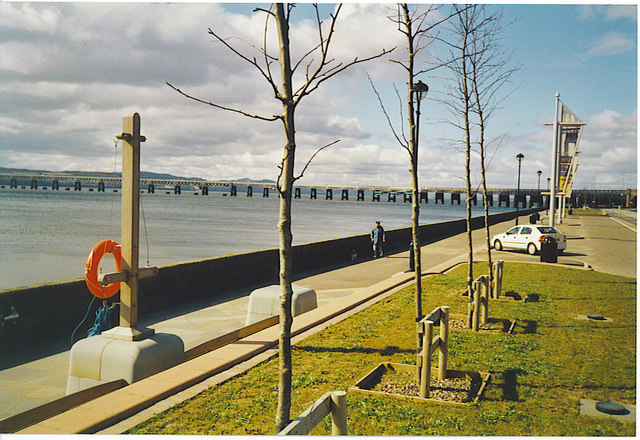
Also known as The Salmon Run the route starts in the city of Dundee on the Firth of Tay estuary in Eastern Scotland.
You then head west along the Firth of Tay to Errol, St Madoes, Glencarse and Perth where you will pass through Kinnoull Hill Woodland Park. The park is one of the route highlights with an Arboretum, an ancient hill fort and some excellent views over the Tay valley.
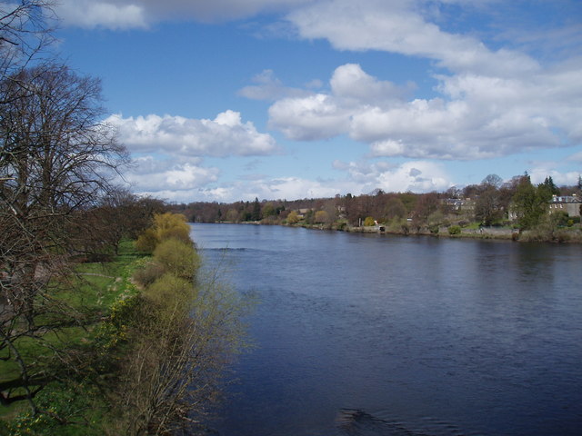
In Perth you pick up a waterside section along the River Tay and River Almond to Almondbank.
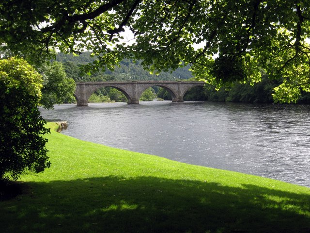
The next stage takes you north to Bankfoot before a run along the eastern side of Rohallion Loch. Soon after you cross the River Tay at Dunkeld and follow the course of the river north to Logierait.
The final section then follows the River Tummel into Pitlochry where you can link up with National Cycle Route 7. At the route's southern end you can link up with National Cycle Route 1.


