GPS Cycle and Walking Routes

Newark to Cotham

5 miles (8.4 km)

This cycle route follows a dismantled railway line between Newark-on-Trent and Cotham in Nottinghamshire.
The flat, easy route runs for just over 5 miles along the trackbed of the old Newark to Bottesford railway. With no traffic it's a nice one for families or anyone looking for a safe, easy cycle ride. Walkers can enjoy the pleasant surfaced path too of course.
The trail starts off just north of Newark train station on National Cycle Route 64. You then head south through the town to New Balderton before coming to the little village of Cotham.
To extend the ride you can continue on to Grantham on the Grantham to Newark-On-Trent Cycle Route.

Newark to Cotham OS Map - Mobile GPS OS Map with Location tracking

Newark to Cotham Open Street Map - Mobile GPS Map with Location tracking

Cycle Routes and Walking Routes Nearby

Photos

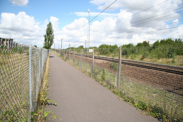
Route 64 - geograph.org.uk - 936954

Short stretch of route 64 alongside the London to Edinburgh East Coast Main Line in Newark.

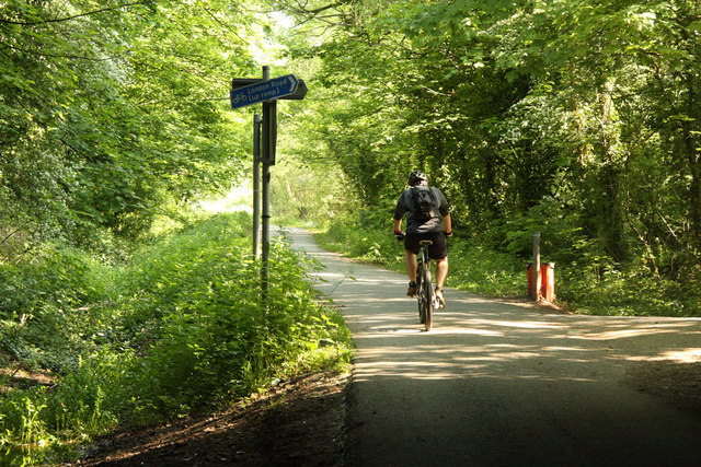
Route 64 - geograph.org.uk - 2966271

Route 64 south of Newark

National Cycle Route 64 - geograph.org.uk - 2846450

National Cycle Route 64

Bowbridge Lane crossing Cycle Route 64 - geograph.org.uk - 2333128

Bowbridge Lane crossing Cycle Route 64

Route 64 - geograph.org.uk - 2968405

South of Balderton

Cotham railway station

Station House. This is the site of the old Cotham Station on the now disused Newark to Bottesford railway

Video

GPS Files

GPX File

Newark to Cotham.gpx (On Desktop:Right Click>'Save As. On Ipad/Iphone:Click and hold>Share>Save to Files')