Sandringham Country Park Walks and Cycling
![]()
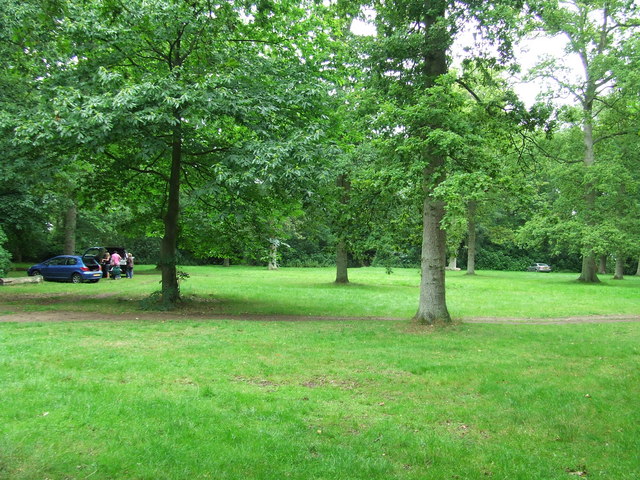
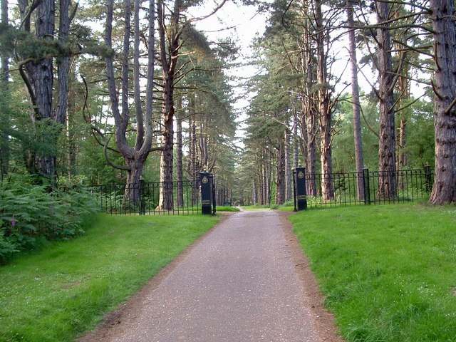
![]() This huge country park surrounds the Queen's splendid country retreat in Norfolk. There are two waymarked Nature Trails, one 1.5 miles long (2.4km) and the other 2.5 miles long (4km). There are also numerous woodland walking paths to explore while National Cycle Network route 1 runs right through the park, so you can bring your bike.
This huge country park surrounds the Queen's splendid country retreat in Norfolk. There are two waymarked Nature Trails, one 1.5 miles long (2.4km) and the other 2.5 miles long (4km). There are also numerous woodland walking paths to explore while National Cycle Network route 1 runs right through the park, so you can bring your bike.
On the western side of the estate you'll find the interesting village of Wolferton. Here you can visit the noteworthy Wolferton Railway Station. The now disused station was well known during the 1800’s through its association with the Royal Family who used the station because of its proximity to Sandringham House. There are also trails to pick up around the Dersingham Bog Nature Reserve in this area. The reserve is part of the wider Sandringham Royal Estate and includes attractive heathland with interesting flora and fauna to see.
Postcode
PE35 6EH - Please note: Postcode may be approximate for some rural locationsPlease click here for more information
Sandringham Country Park Ordnance Survey Map  - view and print off detailed OS map
Sandringham Country Park Open Street Map  - view and print off detailed map
Sandringham Country Park OS Map  - Mobile GPS OS Map with Location tracking
Sandringham Country Park Open Street Map  - Mobile GPS Map with Location tracking
Pubs/Cafes
There's a lovely on site cafe with an outdoor seating area for finer days.
Dog Walking
The parkland and woodland are ideal for dog walking so you will probably see plenty of other dogs on a busy day. It's mostly off lead and dog drinking areas are available around the central area.
Further Information and Other Local Ideas
To continue your walking you could try the King's Lynn and The Walks route. This visits a fine urban park before a riverside stroll along the Great Ouse. Near here you can also visit Bawsey Country Park. There's good trails here to follow around around birch covered hills and a Scandinavian style lake. The purple heather and Dartmoor ponies on Roydon Common are also in this area.
For more interesting local history head a couple of miles north of the park to visit Castle Rising. Here you'll find the ruins of an English Heritage owned castle surrounded by impressive earthworks. The pretty little village of the same name is also well worth exploring.
Just to the west of the park you can enjoy easy walking along the Norfolk coast and visit the nearby town of Hunstanton.
The long distance Rebellion Way Cycle Route passes through the park. The epic 232 mile circular ride visits some of the major highlights of Norfolk, using a series of quiet country lanes and traffic free paths.
For more walking ideas in the area see the Norfolk Walks page.


