Thirlmere Reservoir Walk
![]()
![]() Enjoy a circular walk or cycle around the lovely Thirlmere Reservoir in the Lake District National Park. The route starts at Wythburn at the Steel End car park at the southern end of the lake and then follows the National Cycle Network route on the western side of the lake. On the return on the eastern side of the lake walkers can follow the woodland trail at the lower part of Helvellyn. Cyclists can follow the A591 which runs right alongside the lake for a couple of miles.
Enjoy a circular walk or cycle around the lovely Thirlmere Reservoir in the Lake District National Park. The route starts at Wythburn at the Steel End car park at the southern end of the lake and then follows the National Cycle Network route on the western side of the lake. On the return on the eastern side of the lake walkers can follow the woodland trail at the lower part of Helvellyn. Cyclists can follow the A591 which runs right alongside the lake for a couple of miles.
You can get a bite to eat at the inn at Thirlspot with more details below.
The lake runs for a distance of about 3 miles and includes an impressive 104 foot high dam. On the western side of the lake there's a pleasant climb to Harrop Tarn along the Dob Gill. There's a car park here and a pretty waterfall to see before you reach the picturesque little tarn. You could also climb up to the Thirlmere Infinity Pool where there is a lovely wild swimming spot.
Postcode
CA12 4TW - Please note: Postcode may be approximate for some rural locationsThirlmere Reservoir Ordnance Survey Map  - view and print off detailed OS map
Thirlmere Reservoir Open Street Map  - view and print off detailed map
Thirlmere Reservoir OS Map  - Mobile GPS OS Map with Location tracking
Thirlmere Reservoir Open Street Map  - Mobile GPS Map with Location tracking
Pubs/Cafes
On the other eastern side of the lake there's The King's Head for some post walk refreshments. The former seventeenth century coaching inn is situated in a fantastic spot next to the lake at the foot of Helvellyn. They serve good quality dishes which you can enjoy from the garden with a wonderful view of the surrounding fells.
There's also a Lakeland Produce Store offering a wide range of local food, drinks and gifts from the finest Cumbrian producers. They provide rooms too, if you would like to stay in the area. You can find them at postcode CA12 4TN. The inn is dog friendly.
Further Information and Other Local Ideas
On the western side of the lake there's a popular climb to Raven Crag. It's another fine climb to an excellent viewpoint above the lake. You can start the walk from the Dam triangle car park at the north western end of Thirlmere.
Cycle Routes and Walking Routes Nearby
Photos
Pasture above Thirlmere. Looking towards and across the lake from the A591. Most of the area surrounding the lake is forestry.
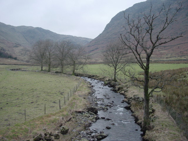
Wyth Burn, near the car park at the southern end of the lake. One of the most notoriously wet and boggy areas of the Lake District is "drained" by this burn. The name Wythburn is given to the general area hereabouts.


