Raven Crag Walk

 This popular walk climbs to Raven Crag above Thirlmere Reservoir in the Lake District.
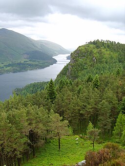
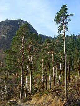
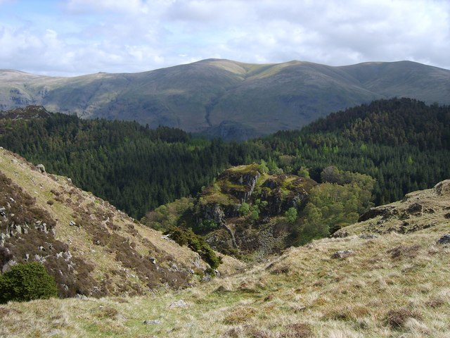
The walk starts from the Dam triangle car park at the northern end of Thirlmere. From here head north and then west to pick up the waymarked footpath to the summit. You will climb along a steep path through woodland before turning south to the 461 metre high summit of Raven Crag. From here you can enjoy wonderful views down to the lake and across to the surrounding Lakeland Fells.
To continue your walking around Thirlmere you could head to the other side of the lake and try the popular climb to Helvellyn. Just to the south of the crag there's an easy climb to Harrop Tarn along the Dob Gill. There's a car park here and a pretty waterfall to see before you reach the picturesque little tarn.
Raven Crag Ordnance Survey Map  - view and print off detailed OS map
Raven Crag Open Street Map  - view and print off detailed map
Raven Crag OS Map  - Mobile GPS OS Map with Location tracking
Raven Crag Open Street Map  - Mobile GPS Map with Location tracking
Pubs/Cafes
On the other side of the lake there's The King's Head for some post walk refreshments. The former seventeenth century coaching inn is situated in a fantastic spot next to the lake at the foot of Helvellyn. They serve good quality dishes which you can enjoy from the garden with a wonderful view of the surrounding fells.
There's also a Lakeland Produce Store offering a wide range of local food, drinks and gifts from the finest Cumbrian producers. They provide rooms too, if you would like to stay in the area. You can find them at postcode CA12 4TN. The inn is dog friendly.
Further Information and Other Local Ideas
On the eastern side of the lake you can try the popular climb to Helvellyn, the third highest mountain in England at 950m (3,120 ft) .


