Tyne Riverside Country Park
![]()
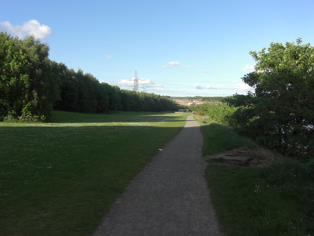
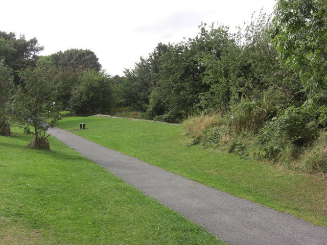
![]() This park follows the River Tyne for four miles through 200 acres of meadows, chalk grassland, woodland and river bank. The park is great for both walkers and cyclists with the Hadrian's cycleway running along the riverside. Hadrian's Wall Path also runs through the park so there is scope for continuing your walk along this path.
This park follows the River Tyne for four miles through 200 acres of meadows, chalk grassland, woodland and river bank. The park is great for both walkers and cyclists with the Hadrian's cycleway running along the riverside. Hadrian's Wall Path also runs through the park so there is scope for continuing your walk along this path.
The park is a short walk from Wylam and Prudhoe train stations and Tyne Valley bus routes. It is about 6 miles west of the centre of Newcastle Upon Tyne and Gateshead.
The Ovingham Walk starts from the park. The circular walk visits Ovington and the peaceful Whittle Dene Woods just to the north.
Tyne Riverside Country Park Ordnance Survey Map  - view and print off detailed OS map
Tyne Riverside Country Park Open Street Map  - view and print off detailed map
*New* - Walks and Cycle Routes Near Me Map - Waymarked Routes and Mountain Bike Trails>>
Tyne Riverside Country Park OS Map  - Mobile GPS OS Map with Location tracking
Tyne Riverside Country Park Open Street Map  - Mobile GPS Map with Location tracking
Pubs/Cafes
Hedley's Riverside Coffee Shop is located in the park for some post exercise refreshment. They serve a good range of meals and snacks at reasonable prices.
Dog Walking
The park is a popular place with dog walkers so you'll probably see other owners on your visit. The on site coffee shop mentioned above is also very dog friendly with water and treats available.
Further Information and Other Local Ideas
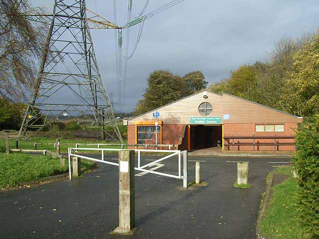
The Newburn to Wylam Walk starts at the car park at the park. This circular route will take you along both sides of the River Tyne, visiting the National Trust's Stephenson's Cottage on the way. Here you can learn all about the life of railway pioneer George Stephenson who was born at the cottage. It's located just a couple of miles west of the park and well worth a visit.
If you follow Hadrian's Wall Path west you will soon come to Whittle Dene Reservoir. The series of reservoirs are a good place for walks and wildlife watching with many birds visiting the area.
Just to the north is the attractive town of Ponteland. The settlement has some expensive residential areas which are popular with footballers and celebrities. For walkers there's some nice riverside trails along the River Pont in the pleasant town centre. You can also visit the pretty Ponteland Park and the noteworthy 15th century Pele Tower here.
At Heddon on the Wall to the north there's a significant section of Hadrian's Wall to see. It includes the longest section of unbroken wall at its original and planned width, now known as Broad Wall.
For more walking ideas in the area see the Tyne and Wear Walks page.
Cycle Routes and Walking Routes Nearby
Photos
Creek at Tyne Riverside Country Park Creek joining the Tyne. Adjacent to Hadrian's Way, a path from Wylam to Newcastle along the north bank of the Tyne which carries both Hadrian's Cycleway


