Abbot's Way
![]()
![]() Travel from Buckfast Abbey to Tavistock Abbey on this long distance trail through the Dartmoor National Park. The trail runs for just over 20 miles, connecting these two historic abbeys and exposing you to some beautiful moorland scenery. Along the way there's a series of rocky tors, pretty rivers and interesting villages. The route climbs to a height of over 1660 feet so there are also great views across the National Park from the high points.
Travel from Buckfast Abbey to Tavistock Abbey on this long distance trail through the Dartmoor National Park. The trail runs for just over 20 miles, connecting these two historic abbeys and exposing you to some beautiful moorland scenery. Along the way there's a series of rocky tors, pretty rivers and interesting villages. The route climbs to a height of over 1660 feet so there are also great views across the National Park from the high points.
The walk starts at the wonderful Buckfast Abbey, just north of Buckfastleigh. You could reach the abbey by catching the heritage South Devon Railway to nearby Buckfastleigh and walking from there.
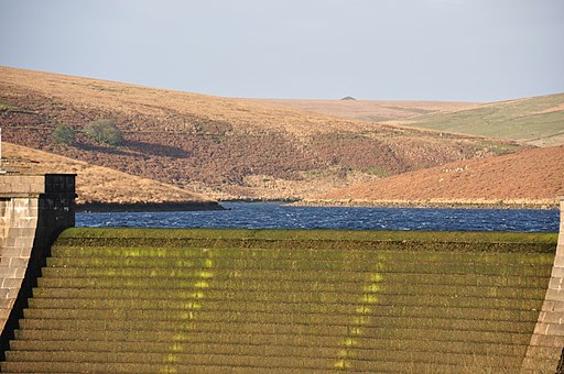
The trail then heads west, through Hockmoor, Lambs Down and Deans Moor before coming to the lovely Avon Dam Reservoir. The trail passes along the northern edge of the reservoir and then along the River Avon on a nice waterside section.
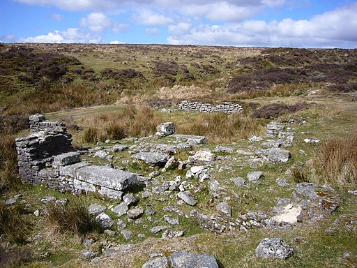
The trail then climbs past Stinger's Hill and Erme Pits Hill before coming to Plym Ford where you will find the remains of the old Wheel Katherine mine.
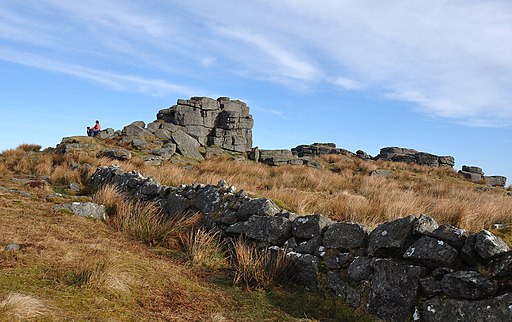
The next stage takes you past South Hessary Tor to the village of Princetown. It's the highest settlement on the moor, and one of the highest in the United Kingdom. The village is a good place to stop for refreshments with a good selection of pubs and cafes.
After leaving Princetown you head past North Hessary Tor before coming to Merrivale where there's Bronze Age megalithic monuments to the south and a former granite quarry.
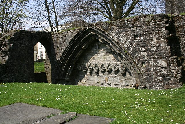
The final section takes you across Whitchurch Common and Moortown before crossing the River Tavy and finishing at Tavistock Abbey. The abbey dates from the 10th century with ruins including the refectory, two gateways and a porch.
To extend your walk you can pick up the Tavistock Canal or the long distance West Devon Way.


