Abergorlech River Cothi Valley Walk
3.4 miles (5.5 km)
![]()
![]() This village in Carmarthenshire is the gateway to the expansive Brechfa Forest where you can enjoy miles of waymarked walking and mountain bike trails. There's also lovely riverside paths and a historic abbey to see in the area.
This village in Carmarthenshire is the gateway to the expansive Brechfa Forest where you can enjoy miles of waymarked walking and mountain bike trails. There's also lovely riverside paths and a historic abbey to see in the area.
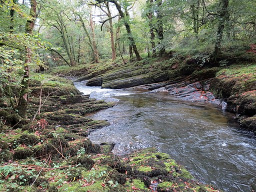
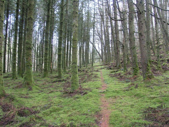
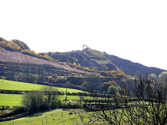
This walk from the village takes you through the River Cothi Valley. You start on Pont Gorlech which crosses the river in Abergorlech. From here you can pick up a footpath heading south east along the river to Pen Y Ddinas Quarry. On the way you will pass through a scenic wooded valley with countryside views and lots of wildlife to look out for.
The walk can be extended by heading south to visit the ancient Talley Abbey and the pretty Talley Lakes.
Abergorlech Ordnance Survey Map  - view and print off detailed OS map
Abergorlech Open Street Map  - view and print off detailed map
Abergorlech OS Map  - Mobile GPS OS Map with Location tracking
Abergorlech Open Street Map  - Mobile GPS Map with Location tracking
Walks near Abergorlech
- Brechfa Forest - Enjoy miles of footpaths and mountain bike trails in this super forest in Carmarthenshire
- Gelli Aur Country Park - This lovely country park surrounds the Golden Grove mansion in Carmarthenshire.
- Dinefwr Park - Explore the 12th-century Welsh castle, the historic house, the 18th-century landscaped park and the medieval deer park in this large park in Llandeilo.
- Llandeilo - This circular walk takes you through the countryside surrounding the Carmarthenshire town of Llandeilo
- Garn Goch - This walk climbs to the hill fort at Garn Goch, located near Llandeilo and Llangadog in the Brecon Beacons.
- Carmarthen - This short walk takes you around the county town of Carmarthenshire
- Talley Abbey - This walk explores the ruins of the 12th century Talley Abbey in Carmarthenshire.


