Arran Coastal Way Map and GPX
![]()
![]() This long distance circular walk takes you around the coastline of the Isle of Arran off the west coast of Scotland.
This long distance circular walk takes you around the coastline of the Isle of Arran off the west coast of Scotland.
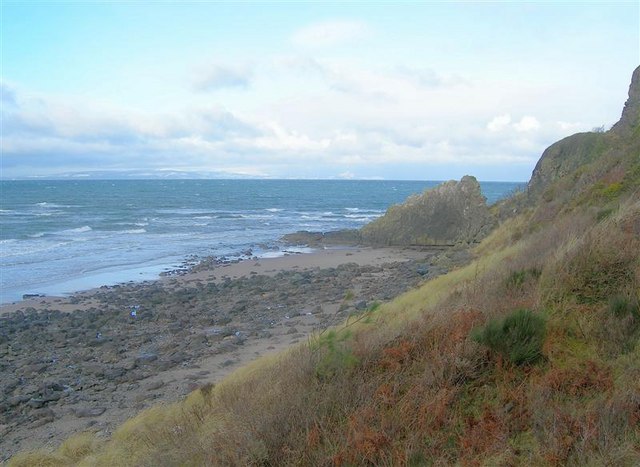
The fully waymarked walk starts and ends from near Brodick ferry terminal. It is classified as one of Scotland's Great Trails and runs for a distance of about 66 miles (107km). There's wonderful coastal scenery including cliff top views, beaches and rugged sections with interesting rock formations.
On the route you will enjoy fine views of Goatfell the highest point on the island. There's also the lovely Glenashdale Falls and the historic Brodick Castle where there's some beautiful landscaped gardens to see.
For cyclists there's the Five Ferries and the Isle of Arran Explorer cycle routes to try. Much of these routes are also suitable for walkers.
Please click here for more information
Arran Coastal Way Ordnance Survey Map  - view and print off detailed OS map
Arran Coastal Way Open Street Map  - view and print off detailed map
*New* - Walks and Cycle Routes Near Me Map - Waymarked Routes and Mountain Bike Trails>>
Arran Coastal Way OS Map  - Mobile GPS OS Map with Location tracking
Arran Coastal Way Open Street Map  - Mobile GPS Map with Location tracking
Further Information and Other Local Ideas
The Glen Rosa Waterfall Walk starts from the car park on the western side of the Brodick Castle grounds. This will take you along the delightful Glenrosa Water with its picturesque waterfalls and stunning views.
Cycle Routes and Walking Routes Nearby
Photos
Brodick Ferry Terminal. The CalMac ferry from Ardrossan berths at this terminal and the ramp allows vehicles to be driven off and on.
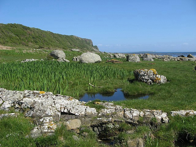
Raised beach on south coast of Arran. Looking eastwards along the line of old sea-cliffs towards Bennan Head in the distance. Beside the rock pool in the foreground is one of the many clumps of irises to be found on this section of the Arran Coastal Way. In the distance, towards the right of the photo, the lighthouse on the island of Pladda is just visible.


