Arrowe Country Park
![]()
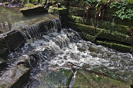
![]() Explore 250 acres of open parkland and deciduous woodland in this country park in Birkenhead. The park also contains wildflower meadows, ponds, a lake and a brook attracting a variety of wildlife. The park is located in the centre of the Wirral Peninsula, west of Birkenhead.
Explore 250 acres of open parkland and deciduous woodland in this country park in Birkenhead. The park also contains wildflower meadows, ponds, a lake and a brook attracting a variety of wildlife. The park is located in the centre of the Wirral Peninsula, west of Birkenhead.
To extend your walking in the area head west and visit the nearby Royden Park. Also nearby is the climb to Bidston Hill where you can enjoy fine views over the Wirral. There's a series of nice surfaced footpaths to be found in the noteworthy Birkenhead Park too.
Arrowe Country Park Ordnance Survey Map  - view and print off detailed OS map
Arrowe Country Park Open Street Map  - view and print off detailed map
Arrowe Country Park OS Map  - Mobile GPS OS Map with Location tracking
Arrowe Country Park Open Street Map  - Mobile GPS Map with Location tracking
Further Information and Other Local Ideas
Located nearby on the north eastern tip of the peninsula there's the popular town of New Brighton where you'll find a lovely beach, a 19th century fort, a large marine lake and the longest promenade in Britain. The wildlife rich North Wirral Coastal Park is also located in this area.


