Arthog Waterfalls
![]()
![]() This walk visits the North Wales village of Arthog where you can enjoy a lovely walking trail along a series of waterfalls. The village is located in the Meirionnydd area of Gwynedd, near Dolgellau.
This walk visits the North Wales village of Arthog where you can enjoy a lovely walking trail along a series of waterfalls. The village is located in the Meirionnydd area of Gwynedd, near Dolgellau.
Start the walk at the car park on the estuary, which is located right on the Mawddach Trail. From here you can pick up footpaths heading south east through woodland and along the waterfalls.
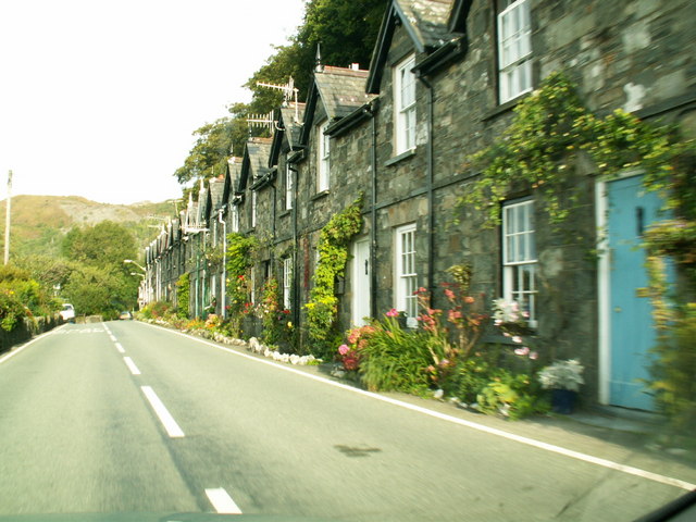
The village of Arthog itself is very small though it was originally intended to rival the likes of Llandudno. The row of terraced properties you see today was the start of a purpose-built holiday resort Solomon Andrews intended for the area. However the planned development went no further because the surrounding land proved unsuitable for urban planning.
Just to the east of the falls you can visit Cregennan Lakes on the northern slopes of Cadair Idris. There's a nice footpath round the lovely lakes with the the Cadair Idris Visitor Centre also located near by. The centre includes a wealth of information and an exhibition detailing the wildlife and geology of this fascinating area.
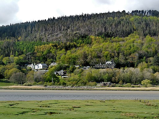
You can extend the walk by picking up the Mawddach Trail shared cycling and walking trail. The popular route runs along the old Ruabon to Barmouth railway line and can be picked up directly from the car park. There's fine views across the estuary to Barmouth on the opposite side. You can visit the town by picking up the Panorama Walk just to the west of the village.
The circular trail climbs above the town for excellent views back down to the estuary. The route also visits the Dinas Oleu hill fort.
Arthog Waterfalls Ordnance Survey Map  - view and print off detailed OS map
Arthog Waterfalls Open Street Map  - view and print off detailed map
Arthog Waterfalls OS Map  - Mobile GPS OS Map with Location tracking
Arthog Waterfalls Open Street Map  - Mobile GPS Map with Location tracking
Cycle Routes and Walking Routes Nearby
Photos
Some of a large series of waterfalls as the stream tumbles about 200 metres down through the woodland to Arthog.
Green ferns and moss abound in this wood. The waterfalls are seen below the main path leading up through the woods.
Originally intended to be part of a development to rival Llandudno, this terrace and Mawddach terrace, as far as I know, were all that was built.


