GPS Cycle and Walking Routes

Bamburgh to Budle Bay Circular Walk

5 miles (7.5 km)

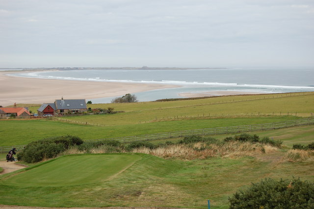
This circular walk takes you from Bamburgh Castle to the lovely Budle Bay, part of the Lindisfarne National Nature Reserve. It's a lovely stretch of coast with fine views across to the Farne Islands and lots of interesting birdlife to look out for on the way.
The walk starts from the car park of the Grade I listed Bamburgh Castle. The castle is open to the public and well worth a visit if you have time. There's fine state rooms, an art gallery, a stable block and a 12th century keep which is the oldest surviving part of the castle. From here you can follow the coastal road north west to Bamburgh Moor and Budle Point. It's a stunning area with interesting rock formations, sand dunes, a beautiful beach and fine views over to the nearby Lindisfarne Castle and Holy Island. There's also lots of wildlife to look out for including grey seals, Pinkfooted and greylag geese, wigeons, grey plovers and bar-tailed godwits. 
After passing the Heather Cottages the route reaches Kiln Point where you turn south towards Budle. Footpaths across farmland then reach the B1342 road which you can follow back to the castle.
The St Oswald's Way long distance footpath runs along this section of coast so you could extend your walk by continuing along the trail. Our Alnwick to Bamburgh Walk links the two historic castles using a section of the path.

Bamburgh to Budle Bay Circular Walk OS Map - Mobile GPS OS Map with Location tracking

Bamburgh to Budle Bay Circular Walk Open Street Map - Mobile GPS Map with Location tracking

Photos

Bamburgh Castle 01

Bamburgh Castle 01

Ross Links from across Budle Bay from Budle - geograph.org.uk - 1554709

Ross Links from across Budle Bay from Budle Left hand view in panorama of 3 pictures from holiday cottage driveway across Budle Bay.

Budle Bay, Northumberland - geograph.org.uk - 746397

Looking North towards Lindesfarne

Budle Bay - geograph.org.uk - 785293

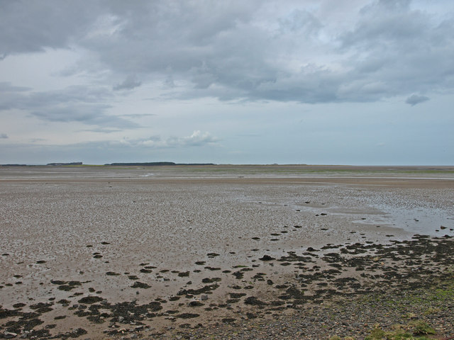
Budle Bay Low tide. Holy Isle on the horizon.

Looking West to Budle Bay - geograph.org.uk - 75103

Looking West to Budle Bay

Farmland by Budle Bay - geograph.org.uk - 1555429

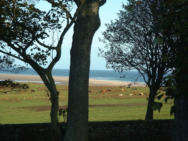
Farmland by Budle Bay

Rock formations at Budle Bay, Northumberland - geograph.org.uk - 107406

Budle is one of the north-east coast's best kept secrets. Massively eclipsed in tourist numbers by the adjacent Bamburgh beach, but nowhere near eclipsed in natural beauty. This is one of the rock formations just below the high water mark, immediately to the east of the old pier, mid-way along the sandy portion of the bay. In the background, water partially filling the bay, half way through the ebb tide. Further back you can see the area leading to Ross links between Budle and Holy Island (Lindisfarne).

Tide going out, Budle Bay - geograph.org.uk - 415220

Tide going out, Budle Bay The tidal flow in Budle Bay creates dangerous currents. North of Budle Bay the sands continue into Ross Back Sands, Fenham Flats and Holy Island Sands. The coast north of Budle Point, including Lindisfarne, is dominated by extensive sand flats.

Video

GPS Files

GPX File

Bamburgh to Budle Bay Circular Walk.gpx (On Desktop:Right Click>'Save As. On Ipad/Iphone:Click and hold>Share>Save to Files')

Memory Map Route

Bamburgh to Budle Bay Circular Walk.mmo (On Desktop:Right Click>'Save As. On Ipad/Iphone:Click and hold >Share>Save to Files)