Bampton Walks
![]()
![]() This pretty village is surrounded by some lovely Oxfordshire countryside and is only a short walk from the River Thames. This circular walk takes you through the farmland to the south of the village, following footpaths to the river and Bampton Lock.
This pretty village is surrounded by some lovely Oxfordshire countryside and is only a short walk from the River Thames. This circular walk takes you through the farmland to the south of the village, following footpaths to the river and Bampton Lock.
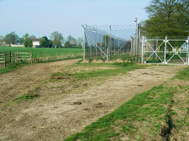
The walk starts in the village and heads south west toward Weald before turning south east to pass RAF Bampton Castle, a former non-flying Royal Air Force station. Continue south and you will soon come to the river at Rushey Lock where you can pick up the Thames Path. The lock was built in stone in 1790 by the Thames Navigation Commission. The weir is adjacent to the lock on the other side of the lock island.
Cross the river here and then you can head west along the river path to Old Man's Bridge. The footbridge will take you to the northern side of the Thames where you can follow country lanes north, crossing the Sharney Brook before coming back into Bampton.
To extend your walking in the area head west along the river to Lechlade and Fairford to visit the splendid Cotswold Water Park. Heading east will take you Farmoor Reservoir where there's a nice footpath to follow around the water.
You can also visit the historic market town of Eynsham in this area.
Bampton Ordnance Survey Map  - view and print off detailed OS map
Bampton Open Street Map  - view and print off detailed map
Bampton OS Map  - Mobile GPS OS Map with Location tracking
Bampton Open Street Map  - Mobile GPS Map with Location tracking
Pubs/Cafes
Just off the route, to the east of Rushey Lock you can visit the Trout at Tadpole Bridge. The riverside inn is a great place to relax and enjoy refreshments outside in the summer months.
Further Information and Other Local Ideas
The Tadpole Bridge Walk takes you east from the popular old inn to visit the 13th century Newbridge. The bridge is Grade I listed and notable as one of the oldest bridges across the River Thames.
Cycle Routes and Walking Routes Nearby
Photos
Church View, Bampton, Oxfordshire. On the right is the former grammar school, built about 1650 and now the public library.


