Barham Walks
![]()
![]() This pretty village is located within the Kent Downs AONB, just south of Canterbury. The village includes a 14th century church and the 17th century and Broome Park, a Grade I listed building with gardens. For walkers there are some fine trails taking you through the North Downs and the Elham Valley.
This pretty village is located within the Kent Downs AONB, just south of Canterbury. The village includes a 14th century church and the 17th century and Broome Park, a Grade I listed building with gardens. For walkers there are some fine trails taking you through the North Downs and the Elham Valley.
This route uses sections of the Elham Valley Way and the North Downs Way to create a circular walk around the village. On the way there's nice views of the Nailbourne river, a tributary of the Little Stour.
On the outward leg you'll visit Kingston, Charlton Park, Bishopsbourne, Bourne Park and Bridge. You then head through Bifrons Park before passing Higham Park, a Grade II* listed neoclassical style house and gardens. The route then crosses Barham Downs before returning to the village.
Barham Ordnance Survey Map  - view and print off detailed OS map
Barham Open Street Map  - view and print off detailed map
Barham OS Map  - Mobile GPS OS Map with Location tracking
Barham Open Street Map  - Mobile GPS Map with Location tracking
Walks near Barham
- Elham Valley Way - Explore the Kent Downs Area of Outstanding Natural Beauty on this delightful walk through Kent.
The route starts on the coast at Hythe and heads north to Canterbury via Elham and Barham - North Downs Way - This beautiful trail starts in Farnham, Surrey and heads east through the stunning North Downs to the historic city of Canterbury in Kent
- Canterbury Rivers and Woods - This 10 mile circular walk takes you along the River Stour before visiting several local woods near the city
- Canterbury to Chartham Walk - This is a popular walk from Canterbury to the nearby village of Chartham
- Canterbury to Dover Walk - This walk takes you from the cathedral city of Canterbury to the famous port of Dover
- Blean Woods National Nature Reserve - Enjoy miles of cycling and walking paths in the ancient woodland of Blean Woods near Canterbury
- Stour Valley Walk - Follow the River Stour from its source near Lenham to the estuary at Pegwell Bay on the Kent coast
- Stodmarsh National Nature Reserve - This delightful nature reserve near Canterbury boasts the largest reedbeeds in the South East of England
- Grove Ferry - This delightful area next to the River Stour is a lovely place to begin walk
- Fordwich - Fordwich is located just to the east of Canterbury and is notable as Britain's smallest town
- Wickhambreaux - This historic village in Kent is located near Canterbury in a lovely rural spot
Further Information and Other Local Ideas
Head into nearby Canterbury and you can visit the famous cathedral before enjoying a riverside stroll on the Stour Valley Walk.
For more walking ideas in the area see the Kent Downs Walks page.
Photos
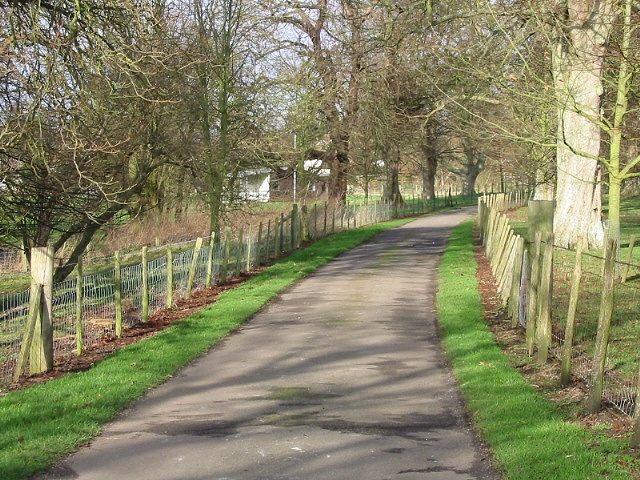
The Causeway, Derringstone. This narrow lane leads from Valley Road towards a crossroads in the village. Beside is the River Nailbourne running through the village.


