Barrow Way
![]() The Barrow Way runs from Robertstown, County Kildare to St Mullin's, County Carlow. The long distance trail covers around 100 kilometres (62 miles), following the River Barrow and the Grand Canal.
The Barrow Way runs from Robertstown, County Kildare to St Mullin's, County Carlow. The long distance trail covers around 100 kilometres (62 miles), following the River Barrow and the Grand Canal.
On the way you'll pass Rathangan, Monasterevin, Athy, Carlow, Leighlinbridge, Muine Bheag, Goresbridge, Borris and Graiguenamanagh
Some of the sections are also suitable for cyclists.
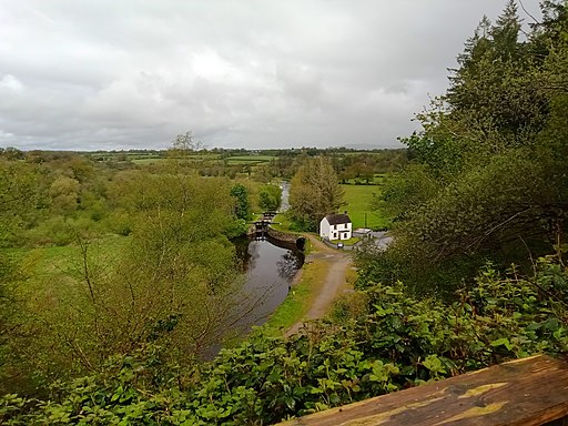
The section between Graiguenamanagh and St Mullins is particularly lovely with views of the Barrow Navigation canal and its pretty locks. See the Graiguenamanagh to St Mullins Walk page for more details on this section.
Scroll down for a detailed map of the route and a gpx file.
Please click here for more information
Barrow Way Open Street Map  - view and print off detailed map
Ireland Walking Map - View All the Routes in the Country>>
Barrow Way Open Street Map  - Mobile GPS Map with Location tracking
Further Information and Other Local Ideas
To the west of the route is the city of Kilkenny where you can try the Kilkenny River and Canal Walk. The easy waterside walk takes you past the 12th century castle with its lovely grounds and gardens.
You can also pick up the waymarked Nore Valley Walk which starts in the city.
The route links with the South Leinster Way around Borris. The National Waymarked Trail runs for 104km from Kildavin, County Carlow to Carrick-on-Suir in County Tipperary.
Near Stradbally you could take a detour west from the route to visit a local historical highlight at the Rock Of Dunamase. The ancient Celtic fortification provides wonderful views over the Slieve Bloom Mountains. Near there's also Emo Court where you'll find a splendid neo-classical mansion surrounded by lovely woodland, parkland, gardens and a lake.
The Brandon Hill Loop starts in Graiguenamanagh. The circular waymarked trail climbs to the summit of the the highest mountain in County Kilkenny. There are great views over the countryside to the coast from this fine vantage point.


