Belmont Reservoir
![]()
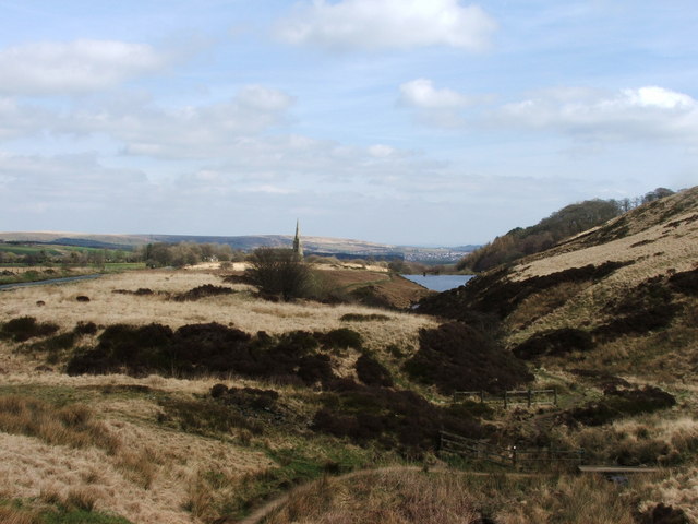
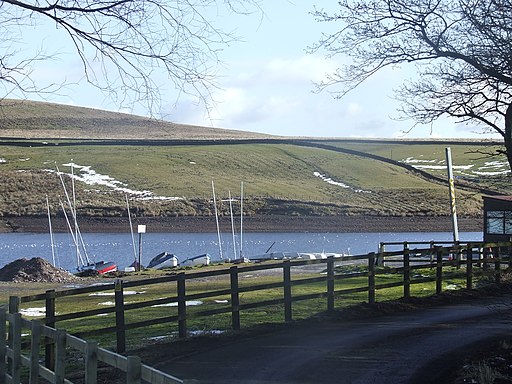
![]() This walk visits Ward's Reservoir and Belmont Reservoir on the West Pennine Moors.
This walk visits Ward's Reservoir and Belmont Reservoir on the West Pennine Moors.
Starts the walk from the car park on Rivington Road just to the west of the village of Belmont. From here you can pick up footpaths heading east around the pretty Ward's Reservoir before picking up trails across the moors to Belmont Reservoir. It's a very scenic area with splendid moorland scenery and views to the surrounding Pennine Hills.
To extend the walk head to the eastern side of the water to pick up the Witton Weavers Way. You could then follow the waymarked trail south to visit Delph Reservoir on the outskirts of Bolton.
Also nearby is the climb to Winter Hill where there are great views back down to the reservoir.
Belmont Reservoir Ordnance Survey Map  - view and print off detailed OS map
Belmont Reservoir Open Street Map  - view and print off detailed map
Belmont Reservoir OS Map  - Mobile GPS OS Map with Location tracking
Belmont Reservoir Open Street Map  - Mobile GPS Map with Location tracking
Pubs/Cafes
The Black Dog in Belmont village is a good choice for some post walk refreshments. The fine country pub has an interesting history having been opened back in 1825. The original building was first used as a village courthouse in the 1700s and later as a farmhouse. It has a fine interior with cosy snugs, raised areas, coal fires and traditional features. At the back of the pub there’s a sun-trap beer garden and part-covered courtyard. It's an ideal place to relax in after your walk if the weather is good. They also provide accommodation if you need to stay over in the area. You can find the pub in the village on Church Street with a postcode of BL7 8AB. It's located very near to Belmont Reservoir and Ward's Reservoir which makes for a nice stroll after your meal.


Pictured above: the Black Dog and Ward's Reservoir in Belmont.


