Ben Avon Walk
![]()
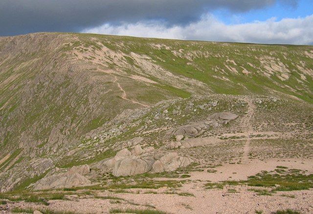
![]() This challenging walk in the Cairngorms takes you to the unusual Ben Avon plateau with its numerous granite tors and wonderful far reaching views. You start in Braemar in a parking area just off the Old Military Road to the east of the village. You then pick up the Gleann an t-Slugain path which will take you to Ben Avon. It's generally a very good path passing through woodland, along pretty streams and through the delightful Fairy Glen. On the way you'll enjoy great views over Glen Quoich, Glas Allt Mor and Slochd Mor. At the summit you will find the huge Leabaidh an Daimh Tor. Some scrambling is required to get to the true summit where there are excellent views of Beinn a'Bhuird mountain.
This challenging walk in the Cairngorms takes you to the unusual Ben Avon plateau with its numerous granite tors and wonderful far reaching views. You start in Braemar in a parking area just off the Old Military Road to the east of the village. You then pick up the Gleann an t-Slugain path which will take you to Ben Avon. It's generally a very good path passing through woodland, along pretty streams and through the delightful Fairy Glen. On the way you'll enjoy great views over Glen Quoich, Glas Allt Mor and Slochd Mor. At the summit you will find the huge Leabaidh an Daimh Tor. Some scrambling is required to get to the true summit where there are excellent views of Beinn a'Bhuird mountain.
If you'd like to continue your walking in the area then you could head to Linn of Dee and Linn of Quoich which are both near Braemar.
Postcode
AB35 5TW - Please note: Postcode may be approximate for some rural locationsBen Avon Ordnance Survey Map  - view and print off detailed OS map
Ben Avon Open Street Map  - view and print off detailed map
Ben Avon OS Map  - Mobile GPS OS Map with Location tracking
Ben Avon Open Street Map  - Mobile GPS Map with Location tracking
Further Information and Other Local Ideas
For more walking ideas in the area see the Cairngorms Walks page.
Cycle Routes and Walking Routes Nearby
Photos
Summit plateau of Ben Avon. Photo shows the flat arid landscape of the plateau with the highest point Leabaidh an Damh Bhuidhe (Bed of the Yellow Stag) in the left distance. This granite Tor is one of several on the hill giving its summit a wart like appearance. These high plateaux are well described as "Arctic islands", extremely hostile in winter whilst in early summer many Alpine and Arctic plants are to be found here.
Leabaidh an Daimh Bhuidhe. Finding this on the Ben Avon plateau in mist was interesting. The summit is the far tor, which entails an easy scramble on good rock.


