Black A Tor Copse Walk

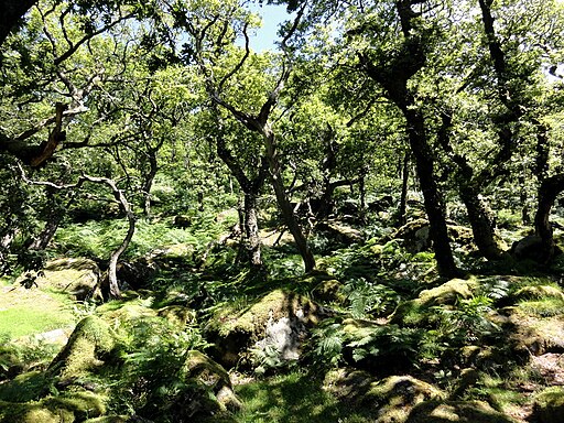
 This walk explores the Black-a-Tor Copse National Nature Reserve in the Dartmoor National Park, near Okehampton.
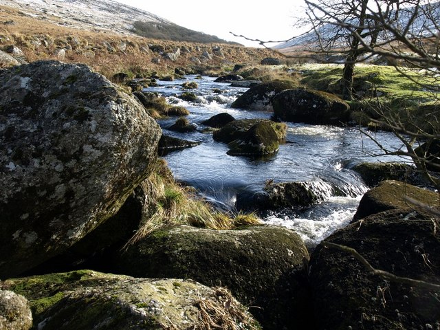
The area is in a remote location on the moor and a rare example of high altitude oak woodland. It's a fine place for a walk with a number of trails taking you through the peaceful ancient woodland and along the West Okement River.
On the route you will also climb to Black Tor where there are some interesting rock formations and fine views over the surrounding countryside.
The walk starts at the Meldon Reservoir car park which lies just north of the reserve. From here you can follow footpaths along the water before picking up another trail along the river which leads to the reserve. Here you will find information boards detailing the interesting flora and fauna you can see at the site. The reserve is nationally important for the great variety of lichens and mosses that clothe the trees and rocks.
To continue your walking in the area head north to climb to High Willhays, the highest point on Dartmoor.
Postcode
EX20 4HP - Please note: Postcode may be approximate for some rural locationsBlack A Tor Copse Ordnance Survey Map  - view and print off detailed OS map
Black A Tor Copse Open Street Map  - view and print off detailed map
Black A Tor Copse OS Map  - Mobile GPS OS Map with Location tracking
Black A Tor Copse Open Street Map  - Mobile GPS Map with Location tracking
Further Information and Other Local Ideas
For more ancient woodland walking on Dartmoor head to Wistman's Wood. The woods are more well known and include some wonderfully shaped trees in another magical setting.


