Blisland Walk
![]()
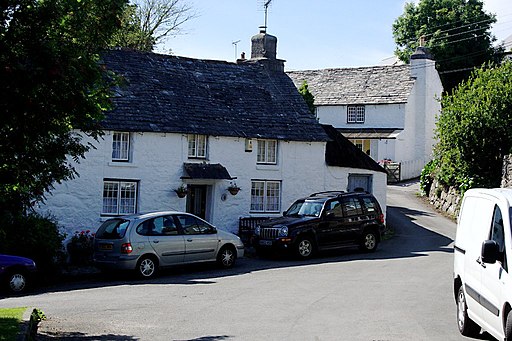
![]() This rural Cornish village is a nice place to start a walk with trails along the River Camel and a signficant local pub to investigate after your walk.
This rural Cornish village is a nice place to start a walk with trails along the River Camel and a signficant local pub to investigate after your walk.
This route uses sections of the Camel Trail, the Camelford Way and the Copper Trail to create a circular walk through the surrounding area.
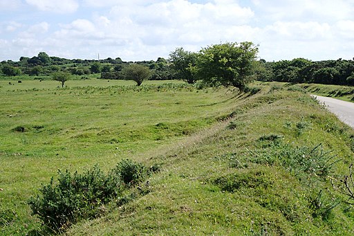
The walk starts in the village and heads north along the Copper Trail to the Pendrift Downs. You'll then pass a series of old quarries before coming to St Breward.
Just west of the village you can pick up the Camelford Way and follow it south to link with the Camel Trail, a shared cycling and walking route running along the River Camel. You'll pass Wenfordbridge and Wenford Dries before turning east at Tressaret to return to Blisland.
Postcode
PL30 4JF - Please note: Postcode may be approximate for some rural locationsBlisland Ordnance Survey Map  - view and print off detailed OS map
Blisland Open Street Map  - view and print off detailed map
Blisland OS Map  - Mobile GPS OS Map with Location tracking
Blisland Open Street Map  - Mobile GPS Map with Location tracking
Pubs/Cafes
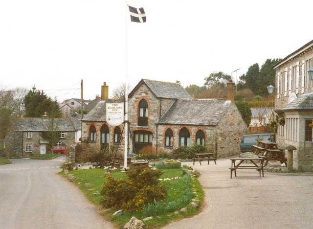
Back in the village you can enjoy rest and refreshment at the Blisland Inn. It's an award winning pub of some note, having been voted three times Cornwall CAMRA Pub of the Year and in 2001 becoming the campaign's national Pub of the Year. The interior is full of character with items such as pumps, barometers, toby jugs and coffee mugs to admire. They serve good quality homemade food and also have a nice garden to sit out in. You can find them at postcode PL30 4JF for your sat navs.
Dog Walking
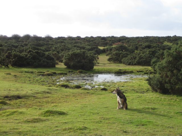
The country trails make for a fine dog walk and the Blisland Inn mentioned above is also dog friendly.
Further Information and Other Local Ideas
A few miles to the east you can enjoy some lovely waterside trails along the expansive Colliford Lake and the mysterious Dozmary Pool.
Cycle Routes and Walking Routes Nearby
Photos
The forecourt of the Blisland Inn. Proudly flying the Cornish flag, with the Old Coach House behind.


