Bradwell Walk
![]()
![]() This pretty Peak District village is located in the Hope Valley area of the National Park. Though not as popular as some of its neighbouring villages it is well worth a visit. It's very picturesque with many old stone cottages, a historic limestone church and the Bradwell Brook running through the centre.
This pretty Peak District village is located in the Hope Valley area of the National Park. Though not as popular as some of its neighbouring villages it is well worth a visit. It's very picturesque with many old stone cottages, a historic limestone church and the Bradwell Brook running through the centre.
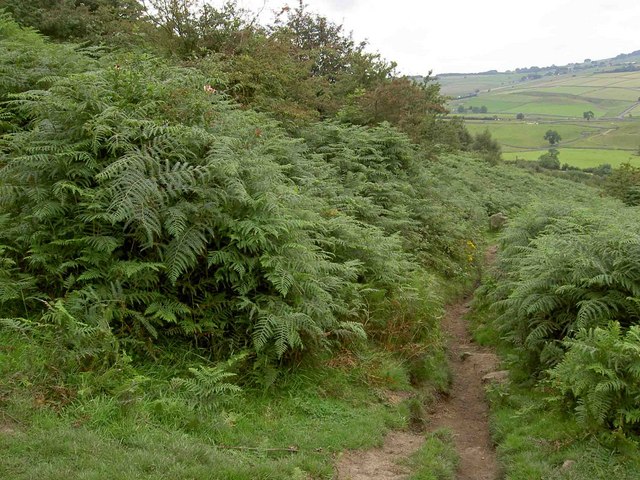
This circular walk from the village takes you to the Navio Roman Fort, Brough and Bradwell Edge. It runs for just under 4 miles with a moderate climb on the way. There's some splendid Peak District scenery with far reaching views over the National Park from the high points.
The walk starts in the village and picks up a public footpath heading north towards Brough before turning west to visit the Navio Roman Fort. The remains of the fort are situated in a flat green field, above a sharp bend in the River Noe, just to the west of Brough.
The route then heads back to Brough before turning south to Elmore Hill Farm. You then begin an ascent to Bradwell Edge which rises to a height of over 1100ft. There's some fine views over the area from here and you will often see hang-gliders launching on the weekends. After enjoying the views the route descends into the village on a country lane.
Bradwell Ordnance Survey Map  - view and print off detailed OS map
Bradwell Open Street Map  - view and print off detailed map
*New* - Walks and Cycle Routes Near Me Map - Waymarked Routes and Mountain Bike Trails>>
Bradwell OS Map  - Mobile GPS OS Map with Location tracking
Bradwell Open Street Map  - Mobile GPS Map with Location tracking
Pubs/Cafes
Head to Ye Olde Bolwing Green pub in Bradwell for some post walk refreshments. The 16th century inn includes a traditional restaurant, a nice garden area, a local bar and a spacious terrace. You can find the pub on Smalldale Head Rd with a postcode of S33 9JQ for your sat navs.
Dog Walking
It's a nice walk for fit dogs and Ye Olde Bolwing Green mentioned above is also dog friendly.
Further Information and Other Local Ideas
You can extend the walk by heading east from Bradwell Edge to visit Abney Moor where there are some nice elevated trails to try.
The village is located close to Castleton where you can try the Castleton Circular Walk or the popular Mam Tor Walk from Castleton. Hathersage is also nearby and has many walking opportunites.
For more walking ideas in the area see the Peak District Walks page.
Cycle Routes and Walking Routes Nearby
Photos
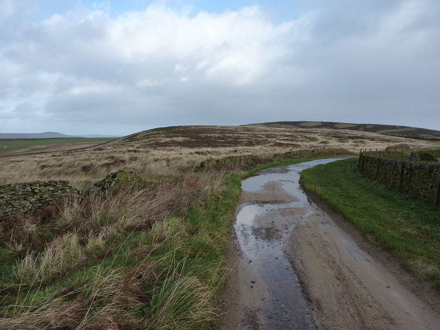
Brough Lane before it turns north for Bradwell Edge. On a good weekend this lane is often nose to tail with the vehicles of hang-gliders who launch from Bradwell Edge


