Brampton Walks

 The small market town of Brampton is located in the Carlisle district of Cumbria.
There's a fine local country park and some peaceful woods to visit in the area. The town is also not far from Hadrian's Wall where there are excellent walking opportunities.
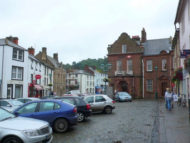
Buildings of note in the town include the octagonal Moot Hall, which is in the centre of Brampton. It was built in 1817 by the Earl of Carlisle and now houses the Tourist Information Centre. Much of the town consists of historic buildings built of the local red sandstone. In 2011, Brampton became the 66th town in the United Kingdom and the second in Cumbria to gain Walkers are Welcome status.
This circular walk from the train station visits two of the highlights of the area at Talkin Tarn Country Park and Gelt Woods. It's a lovely varied walk with lakeside paths, woodland trails and river views to enjoy.
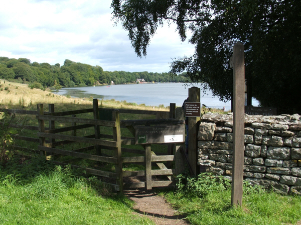
The walk starts from Brampton train station just to the south east of the town centre. The station can be reached from Carlisle & Newcastle. From here you can pick up country lanes and footpaths heading south west towards Talkin Tarn where there is a country park with good facilities and lovely views. Follow the trails south along the tarn and you will come to the village of Talkin.
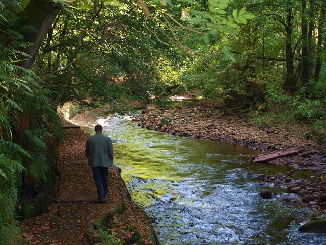
From Talkin head west along a country lane and it will take you to the River Gelt where you can follow a footpath north through Gelt Woods. There's lots of peaceful woodland trails here with an interesting Roman inscribed rock to see as well.
After passing through the woods you can follow footpaths north east and then east to return to the train station.
Brampton Ordnance Survey Map  - view and print off detailed OS map
Brampton Open Street Map  - view and print off detailed map
Brampton OS Map  - Mobile GPS OS Map with Location tracking
Brampton Open Street Map  - Mobile GPS Map with Location tracking
Pubs/Cafes
The Howard Arms is a good choice for some post walk refreshments in Brampton. They do very good food and have an outdoor area for warmer days. You can find the pub at 1 Front Street with a postcode of CA8 1NG for your sat navs.
On the route there's also a lovely tea room at the northern edge of Talkin Tarn.
Dog Walking
Both the tarn and woods are popular with dog walkers so expect to see plenty of other owners on your walk.
Further Information and Other Local Ideas
Just to the north of the town you can pick up the Hadrian's Wall Path at Walton. The epic trail can then be followed east along the historic Roman walk to the fascinating Birdoswald Fort. Near here you can visit the splendid Crammel Linn waterfall which sits in a wonderful river gorge north of Gilsland.
If you head west you will come into Carlisle where there's good paths along the River Eden.
A few miles south of the town there's more nice trails around the tranquil Castle Carrock Reservoir. It's a lovely and peaceful area with the associated village of Castle Carrock also worth a visit. Tindale Tarn just to the east is another picturesque water feature of the area and has some nice trails to try.
A few miles to the south west you'll find the worthy village of Wetheral where you can visit a historic ruined priory, the River Eden and the National Trust's Wetheral Woods. Near here there's also the Wreay Woods Nature Reserve where you can look out for otters by the River Petteril.
Just a couple of miles to the north east there's Miltonrigg Woods. There's more peaceful woodland trails here with pretty bluebells in the spring and lots wildlife to see. Lanercost Priory is also located in this area. The English heritage run site was originally founded in 1169 as an Augustinian monastery. Today the substantial priory ruins are well worth a visit for the fascinating history and architecure.
For more walking ideas in the area see the North Pennines Walks and Cumbria Walks pages.


