Brede High Woods
![]()
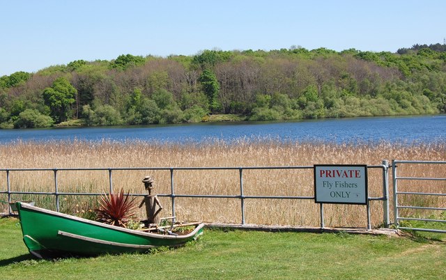
![]() This large area of ancient woodland consists of hundreds of acres of walking trails, a variety of wildlife and the pretty Powdermill Reservoir. There's a circular waymarked trail and a number other permissive footpaths to follow through the 262 hectares (647 acres). It's a lovely place for a peaceful stroll with heathland, coppice, ghyll woodland, broadleaf woodland, ponds, springs and streams to enjoy.
This large area of ancient woodland consists of hundreds of acres of walking trails, a variety of wildlife and the pretty Powdermill Reservoir. There's a circular waymarked trail and a number other permissive footpaths to follow through the 262 hectares (647 acres). It's a lovely place for a peaceful stroll with heathland, coppice, ghyll woodland, broadleaf woodland, ponds, springs and streams to enjoy.
You can start your walk from the car park off Chitcombe Rd at the northern end of the woods. The site is great for wildlife enthusiasts with glow worms, great crested newts, lampreys, dormouse, badgers and fallow deer to look out for. Also keep your eyes peeled for birds including woodcock, nightingales and buzzards.
The attractive woodland includes conifers, spruces, oak, Hornbeam and sweet chestnut coppice. Also look out for bluebells and wood anemones in the spring months.
If you would like to continue your walking in the area then you could head south to Battle and pick up the 1066 Country Walk. The long distance trail will take you through the nearby Battle Great Wood where there are more nice trails to try.
A few miles to the west you will find Vinehall Forest and beyond that the pretty Darwell Reservoir. Here you can enjoy footpaths through Darwell Wood with views across the water.
Postcode
TN31 6EX - Please note: Postcode may be approximate for some rural locationsBrede High Woods Ordnance Survey Map  - view and print off detailed OS map
Brede High Woods Open Street Map  - view and print off detailed map
Brede High Woods OS Map  - Mobile GPS OS Map with Location tracking
Brede High Woods Open Street Map  - Mobile GPS Map with Location tracking
Pubs/Cafes
On the western side of the woods there's the Sedlescombe Organic Vineyard to visit. The beautiful vineyard includes a nice cafe with glasses of wine, charcuterie boards, ploughman's, snacks, and hot and cold drinks. There's a lovely sunny patio to enjoy and in the cooler weather a cosy tasting room. It's an interesting and pleasant place to go after your walk in the woods. They also offer vineyard tours and wine tasting. You can find them at Hawkhurst Road, Sedlescombe, Robertsbridge TN32 5SA.
You could also head into Brede village where you could visit the historic Red Lion Pub. Here you can enjoy local fish dishes and seafood platters in a 15th-century inn with low, beamed ceiling and bare brick. The pub is located opposite St Georges Church (burial place of Sir Goddard Oxenbridge, the 16th century ‘Brede Giant’). You can find them at Brede Hill with postcode TN31 6EJ for your sat navs.
Dog Walking
The expansive woods are great for dog walking and you will probably see other owners on your outing. The Red Lion mentioned above is also dog friendly.
Further Information and Other Local Ideas
Head north from the woods and you could visit one of the highlights of the area at Bodiam Castle. The 14th century moated castle in Sussex is one of the National Trust's most visited properties. It's well worth a visit with lovely grounds and gardens to explore. Near here there's also the beautiful Great Dixter House & Gardens in Northiam. There's a 15th-century manor house and the late Christopher Lloyd's exemplary gardens to explore here. Postcode is TN31 6PH.
Cycle Routes and Walking Routes Nearby
Photos
Stream in Brede High Wood Flowing towards Powdermill Reservoir. Note the unconventional position for a footpath sign on the right. It appears to be an unofficial placement. The footpath junction concerned has a new fingerpost sign in the proper place - what came first - the new sign or the removal of this old sign?


