Powdermill Reservoir
![]()
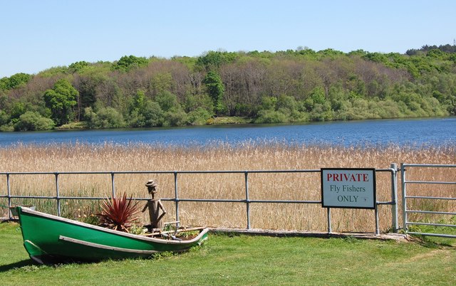
![]() This circular walk takes you through the woodland surrounding Powdermill Reservoir in Sussex. The walk runs for a distance of just over 3 miles on a series of woodland paths.
This circular walk takes you through the woodland surrounding Powdermill Reservoir in Sussex. The walk runs for a distance of just over 3 miles on a series of woodland paths.
Start the walk from Powdermill Lane, just to the south of the reservoir. From here you can pick up paths heading north into Brede High Woods. The woods are very peaceful with lots of interesting flora and fauna to see along the way.
For more of a waterside walk, head west to visit the pretty Darwell Reservoir. The reservoir is located just to the west and has some nice woodland trails through Darwell Wood as well.
Powdermill Reservoir Ordnance Survey Map  - view and print off detailed OS map
Powdermill Reservoir Open Street Map  - view and print off detailed map
Powdermill Reservoir OS Map  - Mobile GPS OS Map with Location tracking
Powdermill Reservoir Open Street Map  - Mobile GPS Map with Location tracking
Further Information and Other Local Ideas
Just to the north east of Robertsbridge you'll find Bodiam Castle. The 14th century moated castle in Sussex is one of the National Trust's most visited properties. It's well worth a visit with lovely grounds and gardens to explore.


