Brothers Water Circular Walk with OS Map
![]()
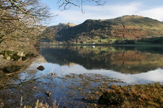
![]() This small lake next to Hartsop village is perfect for a peaceful walk away from the Lake District's hot spots. Brothers Water lies at the northern end of the Kirkstone Pass, giving fabulous views on the descent towards Patterdale. You start off at the car park at the northern end of the lake and follow the footpath around the lake which includes a gentle climb to Hartsop Hall. It's about a 2 mile walk which should suit most abilities.
This small lake next to Hartsop village is perfect for a peaceful walk away from the Lake District's hot spots. Brothers Water lies at the northern end of the Kirkstone Pass, giving fabulous views on the descent towards Patterdale. You start off at the car park at the northern end of the lake and follow the footpath around the lake which includes a gentle climb to Hartsop Hall. It's about a 2 mile walk which should suit most abilities.
If you'd like to continue your walking in the area then you could climb up to Angle Tarn and Hayeswater which can be easily reached from Hartsop.
Postcode
CA11 0NZ - Please note: Postcode may be approximate for some rural locationsBrothers Water Ordnance Survey Map  - view and print off detailed OS map
Brothers Water Open Street Map  - view and print off detailed map
*New* - Walks and Cycle Routes Near Me Map - Waymarked Routes and Mountain Bike Trails>>
Brothers Water OS Map  - Mobile GPS OS Map with Location tracking
Brothers Water Open Street Map  - Mobile GPS Map with Location tracking
Pubs/Cafes
The appropriately named Brotherswater Inn is located just to the south of the lake. The friendly inn does good food which you can enjoy outside with fine views of the surrounding fells. They also provide good quality accommodation if you need to stay over. You can find the pub just south of the lake at postcode CA11 0NZ for your sat navs.
Dog Walking
The peaceful lake with its woodland trails makes for a very pleasant dog walk. The Brotherswater Inn mentioned above also welcomes dogs.
Further Information and Other Local Ideas
The lake is located only a couple of miles south of Ullswater Lake. Here you can try the popular Glenridding to Aira Force Walk and visit a wonderful waterfall and woodland area. The Howtown to Glenridding Walk can also be picked up in nearby Glenridding. The easy trail follows the lakeshore to Howtown Pier where the Ullswater Steamer boats dock.
For more walking ideas in the area see the Lake District Walks page.
Cycle Routes and Walking Routes Nearby
Photos
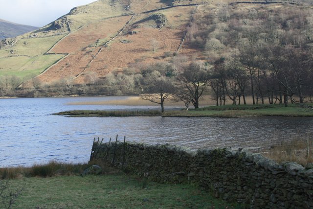
Footpath, Brothers Water. Looking north on the west side of the lake, towards the car-park by Hartsop. Taken in the spring of 2003.
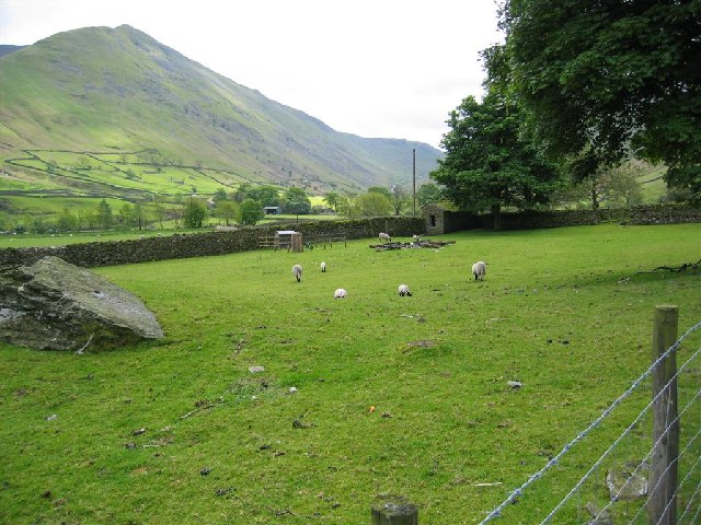
Lambing Time, Hartsop Hall, near Brothers Water. This photo was taken on the path south of Brothers Water, near Hartsop Hall, with Hartsop Dodd in the background, to the east.


