Bucklebury Common

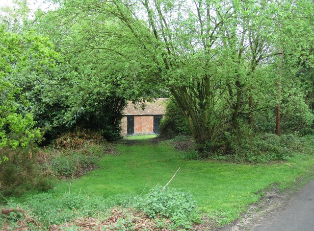
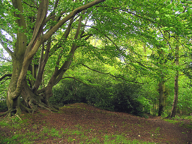
 This large area of common land in Berkshire covers 350 hectares (860 acres). It consists of heathland and broadleaved woodland of oak, ash and beech. There are miles of public footpaths and bridleways suitable for cycling. Other features include 12 ponds, several greens and a variety of flora and fauna. Keep your eyes peeled for a variety of woodland birds and the occasional deer as you make your way through the woods. You can start off from the car park which is located about half way between the villages of Upper Buckleberry and Chapel Row.
The common is located just to the north of Thatcham so if you would like to continue your walking in the area you could head to the excellent Thatcham Discovery Centre. You could also head north to the village of Bucklebury and then continue to Stanford Dingley by picking up the riverside footpath along the River Pang.
Postcode
RG7 6QH - Please note: Postcode may be approximate for some rural locationsBucklebury Common Ordnance Survey Map  - view and print off detailed OS map
Bucklebury Common Open Street Map  - view and print off detailed map
Bucklebury Common OS Map  - Mobile GPS OS Map with Location tracking
Bucklebury Common Open Street Map  - Mobile GPS Map with Location tracking
Pubs/Cafes
At the south side of the common you will find the excellent Cottage Inn. The friendly pub has a great atmosphere, and serves good home cooked food. There's also a splendid outdoor area which includes a paddock with farm animals. It's a lovely place to sit out in during the summer. You can find the pub on 26 Broad Lane with a postcode of RG7 6QJ.
If you head into nearby Thatcham you could visit the splendid Thatcham Discovery Centre where you will find a nice lakeside cafe. There's seats outside with nice views over the lake, so perfect for a fine day.
You could also head into Thatcham village and visit the King's Head. It's a lovely, recently refurbished old Pub, with a wonderful Beer Garden and Garden Bar. The pub is also dog friendly and can be found it at 59 Broadway with a postcode of RG193HP for your sat navs.
Dog Walking
The expansive common is an excellent place to take your dog for a walk. It is requested that they stay on leads though as there are many nesting birds in the reserve.


