Buscot Park

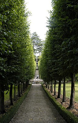
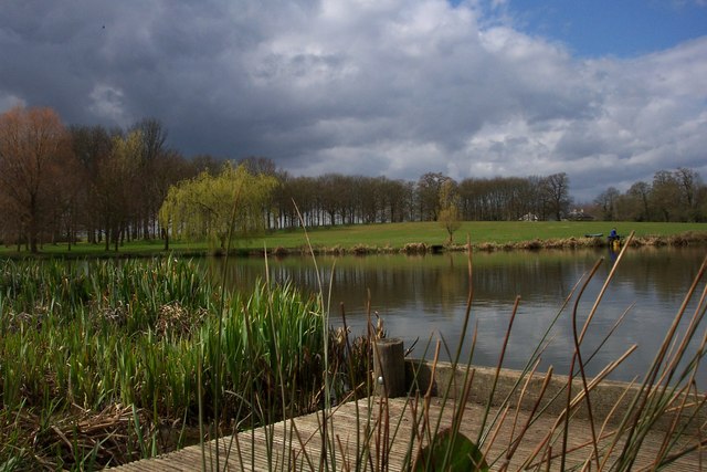
 Explore the delightful grounds and gardens surrounding this fine 18th-century house near Faringdon in Oxfordshire. You can stroll through attractive woodland and visit the lovely water gardens with ornate statues and fountains. There are several pretty lakes and a wonderful walled garden with a variety of plants, trees and flowers. Each section of the garden has been designed to represent a different season. Smaller gardens include a citrus garden, a rose garden and a swinging garden.
If you would like to continue your walking in the area then you could visit the nearby Badbury Clump. Here you will find bluebell woodland and Bradbury Hill where there is an Iron Age hill fort known as Badbury Camp. There are also nice views over the Vale of White Horse to the south and the Thames Valley.
You could also follow the Thames Path west and visit the attractive town of Lechlade.
Postcode
SN7 8BU - Please note: Postcode may be approximate for some rural locationsPlease click here for more information
Buscot Park Ordnance Survey Map  - view and print off detailed OS map
Buscot Park Open Street Map  - view and print off detailed map
Buscot Park OS Map  - Mobile GPS OS Map with Location tracking
Buscot Park Open Street Map  - Mobile GPS Map with Location tracking
Explore the Area with Google Street View 
Further Information and Other Local Ideas
To the north you can pick up the Lechlade To Kelmscott Walk and explore a particularly interesting section of the Thames. On the route there's the 13th century St. Mary's Church at Buscot and the statue of Old Father Thames at St John's Lock. At the end of the route you can also visit the 16th century Kelmscott Manor with its history, architecture and lovely grounds. Like Buscot it's another of the area's local historic highlights and located just a mile to the north.
For more walking ideas in the area see the Oxfordshire Walks page.


