Cadbury Castle
![]()
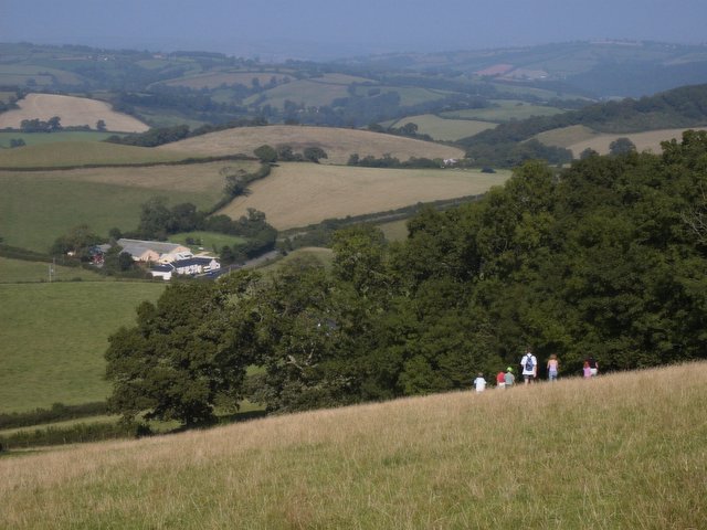
![]() Climb to this Iron Age hillfort on Cadbury Hill on this short walk in Somerset. The hill is thought to be the site of King Arthur's Camelot and has a fascinating history. From the high points there are wonderful views over the surrounding Somerset countryside.
Climb to this Iron Age hillfort on Cadbury Hill on this short walk in Somerset. The hill is thought to be the site of King Arthur's Camelot and has a fascinating history. From the high points there are wonderful views over the surrounding Somerset countryside.
You can start the walk from the car park just off Chruch Lane to the east of the hill. You then pick up the footpath on Castle Lane to take you up and around the ramparts of the hill fort. It's a splendid spot with far reaching views over the beautiful woodland and countryside below.
The hill is on the Leland Trail long distance footpath so you have the option of starting your walk from the village of North Cadbury and heading south along the trail to visit the castle. You could also extend your walk by heading west through the countryside to Queen Camel.
You can visit the hill by bike by cycling along National Cycle Network route 266 from Castle Cary or along route 26 from Sherborne.
Cadbury Castle Ordnance Survey Map  - view and print off detailed OS map
Cadbury Castle Open Street Map  - view and print off detailed map
Cadbury Castle OS Map  - Mobile GPS OS Map with Location tracking
Cadbury Castle Open Street Map  - Mobile GPS Map with Location tracking
Pubs/Cafes
Head to the Camelot in South Cadbury for some refreshments after your walk. It's very conveniently located just a short stroll from the base of the hill. The walls of the pub are even covered with information relating to the history of the castle site. There's a good menu and a lovely garden area to relax in on warmer days. You can find it in the village on Chapel Rd, with a postcode of BA22 7EX for your sat navs.
Dog Walking
The hill is a nice place to give your dog some air and the Camelot pub mentioned above is also dog friendly.
Further Information and Other Local Ideas
The larger village of North Cadbury is located just to the north of the site. You can follow waymarked trails north to visit the pretty village if you have time.
The Castle Cary Walk takes you to the hill fort from the nearby town. It follows the epic Macmillan Way south for just over 5 miles to the site. The town has a train station so it's a nice way of visiting the fort by public transport. Castle Cary is also well worth exploring with some interesting old buildings including a 15th century pub.
Head south and there's the pretty village of Corton Denham. As an alternative you could start your walk from here and follow the Monarch's Way north to the site. The village has a good 18th century inn for post walk refreshment or overnight accommodation.
For more walking ideas in the area see the Somerset Walks page.
Cycle Routes and Walking Routes Nearby
Photos
Descent from the castle. The footpath descends from the edge of the ramparts of Cadbury Castle north-east back towards the village of South Cadbury. Access to the castle is free and there is a small car park nearby the bottom of this footpath. A wheelchair could probably be pushed up this path but it is quite steep and rutted in places.
Ramparts of the Castle looking south. The western ramparts of Cadbury Castle, looking south towards Parrock Hill and Corton Ridge. There is a double set of ramparts, with this moat between them, encircling the hilltop, with just one access point at the north-east corner.
From the Neolithic Age (3000BC) to the early 11th century, the fortress of Cadbury was in turn a military stronghold, centre of trade and culture, and probably the focus of a religious cult; by the early 16th century folklore identified with the Camelot of Arthurian romance.


