Calverley Woods
![]()
![]() These woods in Leeds have walking trails and cycling trails suitable for mountain bikes. There's lots of good tracks with some decent jumps. The area also includes the adjacent Lodge Wood and West Wood with its walking trails taking you to bluebell woodland, an old walled garden and hidden grottoes.
These woods in Leeds have walking trails and cycling trails suitable for mountain bikes. There's lots of good tracks with some decent jumps. The area also includes the adjacent Lodge Wood and West Wood with its walking trails taking you to bluebell woodland, an old walled garden and hidden grottoes.
The woods are located next to the village of Calverley just south of the Leeds and Liverpool Canal. You can pick up the walking and cycling trail along the canal to extend your outing. Following it west will take you towards Bradford while heading east takes you into Leeds.
The Leeds Country Way also passes through the woods so you could pick up this long distance trail to explore the countryside around the city.
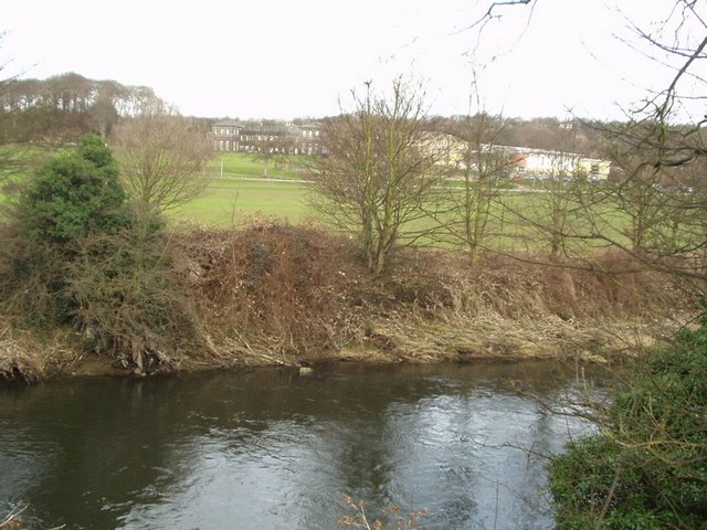
The River Aire runs just to the north of the woods so you could follow the Airedale Way path into Leeds or towards Baildon Moor and Shipley Glen.
Postcode
BD10 0NF - Please note: Postcode may be approximate for some rural locationsCalverley Woods Ordnance Survey Map  - view and print off detailed OS map
Calverley Woods Open Street Map  - view and print off detailed map
Calverley Woods OS Map  - Mobile GPS OS Map with Location tracking
Calverley Woods Open Street Map  - Mobile GPS Map with Location tracking
Further Information and Other Local Ideas
Pick up the Leeds Canal Walk and head east and you can visit the splendid Kirkstall Abbey. There's nice trails here around the grounds of the ruined former Cistercian monastery.
Near here there's also the Rodley Nature Reserve where you'll find an attractive wetland nature reserve with a visitor centre and lots of wildlife.
Cycle Routes and Walking Routes Nearby
Photos
Calverley Cutting. This dead straight cutting was constructed for carrying quarried stone down to the Leeds-Liverpool canal by means of a gravity driven tramway.


