Capel Curig Walks
![]()
![]() The village of Capel Curig lies in the heart of the Snowdonia National Park, making it an excellent centre for walkers. There's a number of challenging mountain climbs which can be started from the village. There's also lakeside paths and some nice woodland trails to the south of the village. Capel Curig is also the home to the Plas Y Brenin, National Mountain Sports Centre. There's a range of activities to try here and decent accommodation.
The village of Capel Curig lies in the heart of the Snowdonia National Park, making it an excellent centre for walkers. There's a number of challenging mountain climbs which can be started from the village. There's also lakeside paths and some nice woodland trails to the south of the village. Capel Curig is also the home to the Plas Y Brenin, National Mountain Sports Centre. There's a range of activities to try here and decent accommodation.
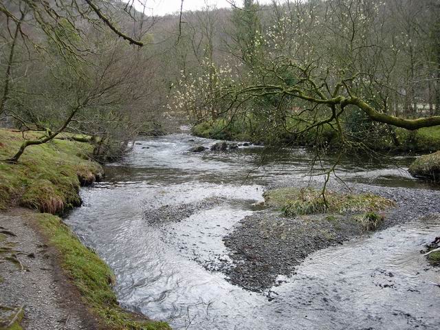
This circular walk takes you around the village's immediate area, visiting Llynnau Mymbyr and the woodland of Coed Bryn-engan. The lake is very beautiful with fine views across the water to the surrounding mountains. There's also a visit to the Afon Llugwy with some riverside footpaths in the forest to enjoy. The route runs for about 3 miles on fairly flat paths with some small climbs on the northern side of the walk.
The village is a popular start point for the climb to Moel Siabod which is located to the south of the village. You can also start from nearby Pont Cyfyng, just to the south east. The mountain reaches a peak of 872m making it the highest peak in the Moelwynion mountain range. The views from the summit are particularly special. On a clear day the you can see Snowdonia, Glyderrau and the Carneddau ranges.
To the north of the village there are more beautiful lakeside trails to try at Llyn Crafnant and Llyn Cowlyd.
Another nice option is to follow the trail along Nant y Benglog and the Afon Llugwy to Llyn Ogwen. You can pick up the trail just to the north of the village and follow it north west to the lovely lake and Ogwen waterfall. The popular Lon Las Ogwen cycle route and the glacial valley of Nant Ffrancon can also be explored at the western end of the lake.
Just to the east of the village you will find Betws Y Coed where there are more great waterside trails at Swallow Falls and Conwy Falls.
Capel Curig Ordnance Survey Map  - view and print off detailed OS map
Capel Curig Open Street Map  - view and print off detailed map
*New* - Walks and Cycle Routes Near Me Map - Waymarked Routes and Mountain Bike Trails>>
Capel Curig OS Map  - Mobile GPS OS Map with Location tracking
Capel Curig Open Street Map  - Mobile GPS Map with Location tracking
Pubs/Cafes
At the eastern end of Llynnau Mymbyr you will find Plas Y Brenin, a National Outdoor Centre for Rock Climbing, Mountaineering, Hiking & Hillwalking, Canoeing, Kayaking and Mountain Biking. Within the centre there's the Yr Wyddfa Bar and Restaurant which is a great place for some post walk refreshments. The bar boasts the best view in Britain as it looks down to the lake and the Snowdon Horseshoe. There's a good menu with locally sourced food and drink.
Further Information and Other Local Ideas
A few miles south of the village you can visit one of the significant historical sites in the area at Dolwyddelan Castle. There are excellent views of the surrounding mountains from the ruins of the 13th century fortress. The circular walk also visits the village of Dolwyddelan and the lovely Afon Lledr Valley.
For some interesting local history try the Dolgarrog Pipeline Walk. This explores the area around the little village, visiting the impressive pipeline structure and the Coedty reservoir. Near here there's also the beautiful Llyn Eigiau where the reservoir dam was breached leading to the Dolgarrog Dam disaster of 1925.


