Cautley Spout

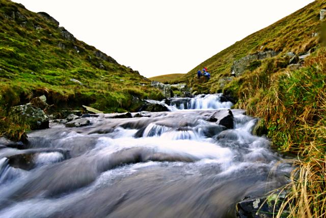
 Cautley Spout is England's highest (cascade) waterfall above ground. It's located near Sedburgh in the Yorkshire Dales National Park. This walk starts at the Cross Keys public house and follows a footpath running alongside the waterfall from Low Haygarth to the top of the spout. It is a steep climb but the footpath is essentially a series of steps so it is quite an easy path to the follow. This is likely to be a very peaceful walk as the area does not attract too many visitors. Ideal if you are looking for some solitude in beautiful surroundings. You could continue your walk by climbing further over the beautiful Howgill Fells where there are magnificent views of the Lake District.
Just to the west you will find the highest point of the Howgills at The Calf. You can extend your walk by heading to this great viewpoint and then following the Dales High Way to Sedbergh. If you also use the Pennine Journey long distance trail you can turn it into a longer circular walk.
Postcode
LA10 5NE - Please note: Postcode may be approximate for some rural locationsCautley Spout Ordnance Survey Map  - view and print off detailed OS map
Cautley Spout Open Street Map  - view and print off detailed map
Cautley Spout OS Map  - Mobile GPS OS Map with Location tracking
Cautley Spout Open Street Map  - Mobile GPS Map with Location tracking
Pubs/Cafes
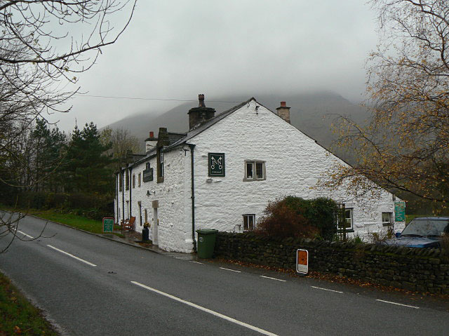
The walk starts from the Cross Keys pub where parking is available. The 400 year old National Trust Temperance Inn is a fine place to relax after your walk. There's good food and a nice garden area if the weather is fine. There's also a coffee shop and book store to browse.
Dog Walking
The walk is a nice one to do with your dog but it's best to keep them on leads because of the sheep roaming around the fells. The Cross Keys pub mentioned above is also dog friendly outside.
Further Information and Other Local Ideas
Head west of the falls and you can pick up the waymarked Dales Way and enjoy a riverside walk along the River Lune.
A little further north west there's the nearby village of Tebay where you will find more riverside trails along the River Lune. The village is also known for its 16th century pub and the Tebay Motorway Services.
For more walking ideas in the area see the Howgills Walks, Yorkshire Dales Walks and Cumbria Walks pages.
Cycle Routes and Walking Routes Nearby
Photos
The lower section of the waterfall is clearly visible on the steep hillside. The trickle in the foreground is not the Beck but just some small stream fed by a source on Yarlside, the hill to the north.
Cross Keys, Cautley. This is a real rarity, being a temperance inn, under National Trust auspices. It nevertheless provides a warm welcome and home-cooked food. A good starting or finishing point for a visit to Cautley Spout waterfall.


