Walks Near Tebay
![]()
![]() This Cumbrian village is located in a lovely spot in the Lune Valley at the head of the Lune Gorge.
This Cumbrian village is located in a lovely spot in the Lune Valley at the head of the Lune Gorge.
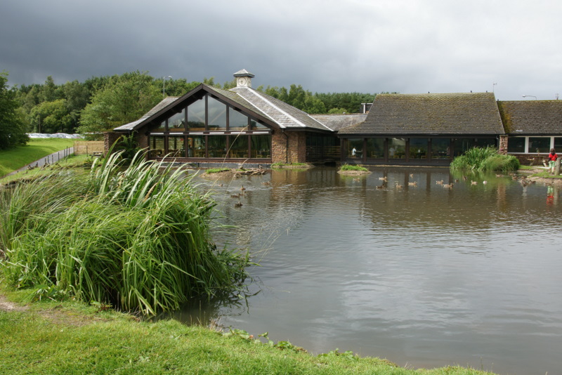
There's an ancient pub dating back to the 1500s and the Tebay Services, a motorway service station on the M6 with family-run businesses and a farm shop. This circular walk from the village explores the surrounding countryside on a series of public footpaths and country lanes.
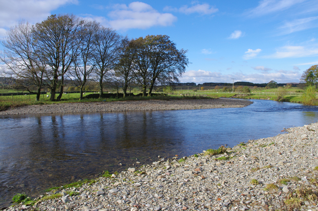
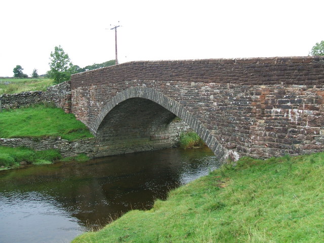
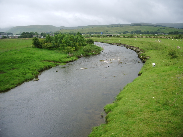
On the walk you will enjoy waterside trails along the River Lune and the Birk Beck where you will pass the Birkbeck Viaduct. You will also pass the Castle Howe Motte and Bailey Castle which lies just north west of the settlement.
There's some splendid views of the Yorkshire Dales and the Howgills Hills which lie just to the south of the village.
Postcode
CA10 3UY - Please note: Postcode may be approximate for some rural locationsTebay Ordnance Survey Map  - view and print off detailed OS map
Tebay Open Street Map  - view and print off detailed map
Tebay OS Map  - Mobile GPS OS Map with Location tracking
Tebay Open Street Map  - Mobile GPS Map with Location tracking
Walks near Tebay
- Cautley Spout - Cautley Spout is England's highest (cascade) waterfall above ground
- Ravenstonedale - There are lots of nice walks to try around the pretty Cumbrian village of Ravenstonedale
- Smardale Gill Viadiuct - This walk takes you through the pretty Smardale Gill along the trackbed of a disused railway line
- Wild Boar Fell - This circular walk climbs Wild Boar Fell in the Mallerstang area of the Yorkshire Dales National Park
- Kirkby Stephen River Circular - This circular walk takes you along a section of the Pennine Journey long distance trail before returning along the River Eden.
The small market town of Kirkby Stephen is located in Cumbria, near the border of the Yorkshire Dales National Park - Sedbergh - River Dee - Dentdale - A lovely waterside walk through Dentdale in the Yorkshire Dales National Park
- Sedbergh Circular Walk - The Cumbrian town of Sedbergh is a good base for walkers with direct access to the Howgill Fells
- Crosby Ravensworth - This Cumbrian village is located in the Eden district of the county
- Shap Abbey - This circular walk visits the historic Shap Abbey and the village of Shap in Cumbria
- Appleby Riverside Walk - Enjoy waterside walking along the River Eden and Hoff Beck on this circular walk around Appleby-in-Westmorland
- Haweswater - Follow the lakeside trail around the beautiful Haweswater Reservoir on this circular walk in the Lake District
- Lowther Castle - Explore 130 acres of gardens and castle terraces on this walk near Penrith in the Lake District.
- Wet Sleddale Reservoir - This circular walk takes you around Wet Sleddale Reservoir near Penrith in Cumbria.
- High Cup Nick - This circular walk explores High Cup Nick, a spectacular glacial valley and one of the major highlights in the North Pennines AONB
- Murton Pike - This walk climbs to Murton Pike from the village of Murton in in the Eden District of Cumbria.
- Dufton Pike - This circular walk climbs to Dufton Pike from the village of Dufton in the North Pennines AONB
- Askham Fell - This circular walk climbs to the viewpoint at Askham Fell from the Lake District village of Askham
- Orton Scar - This circular walk visits Orton Scar in Orton Fells in Cumbria
- Rutter Force - This walk takes you to the picturesque Rutter Force waterfall from the village of Appleby in Westmorland
- Sunbiggin Tarn - This walk visits the picturesque Sunbiggin Tarn in Cumbria.
Pubs/Cafes
Back in the village The Cross Keys Inn is a nice place for some post walk refreshment. The historic 16th century coaching inn includes a garden overlooking a narrow valley with the fledgling Lune at the leafy bottom. They also have a car park and accommodation if you would like to stay in the area.
Further Information and Other Local Ideas
Head east and you could visit the picturesque Sunbiggin Tarn. The area is a designated Site of Special Scientific Interest (SSSI) which includes some splendid limestone pavement and a variety of interesting plants and flowers.


