Charlestown to Porthpean Circular Walk
![]()
![]() This coastal Cornish village is located just to the south east of St Austell on the beautiful St Austell Bay.
This coastal Cornish village is located just to the south east of St Austell on the beautiful St Austell Bay.
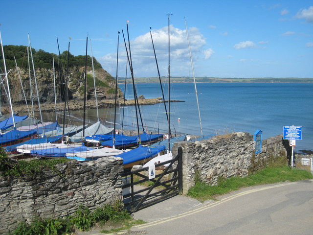
It's a delightful port which has remained relatively unchanged since developing in the late 18th century from the fishing village of West Polmear. The village's Georgian feel has attracted many tourists and filmmakers over the years. There's granite quays, Georgian cottages and a fleet of old sailing ships to see in this special place.
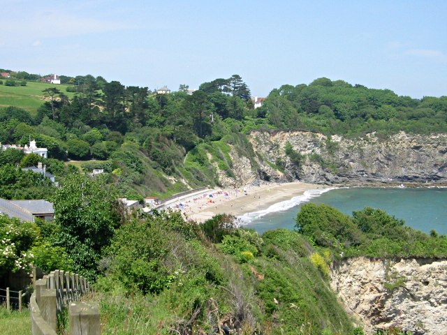
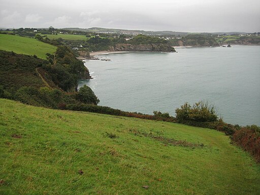
This circular walk from the village takes you along the South West Coast Path to Duporth and Porthpean with it's lovely beach. The route then climbs to Castle Gotha where there is an ancient settlement and some fine views to the coast.
From here you can follow lanes past the old church in Porthpean before heading back to the coastal path and returning to Charlestown.
Postcode
PL25 3NJ - Please note: Postcode may be approximate for some rural locationsCharlestown Ordnance Survey Map  - view and print off detailed OS map
Charlestown Open Street Map  - view and print off detailed map
Charlestown OS Map  - Mobile GPS OS Map with Location tracking
Charlestown Open Street Map  - Mobile GPS Map with Location tracking
Walks near Charlestown
- St Austell - This interesting Cornish town has some nice river trails and is a short walk from the coast and the beautiful St Austell Bay
- Pentewan Trail - The Pentewan trail is a lovely traffic free cycle and walking path running from St Austell to Mevagissey along National Cycle route 3.
- Mevagissey - The fishing village of Mevagissey is located in a lovely spot on the Cornish coast
- Lost Gardens of Heligan - Enjoy a stroll around these stunning botanical gardens near Pentewan and Mevagissey in Cornwall
- South West Coast Path - This incredible 600 mile walk follows the coast from Minehead in Somerset, through Devon and Cornwall and onto the finish point at Poole in Dorset
- Ladock Woods - This walk visits Ladock Woods, in the Cornish village of Ladock, near Truro.
- Goss Moor Trail - This super Cornish trail is suitable for both walkers and cyclists and takes you on a tour of the 480 hectare Goss Moor National Nature Reserve.
- Tresillian River Walk - This walk visits the Tresillian River near the city of Truro in Cornwall
- Luxulyan Valley - This walk explores the Luxulyan Valley in Cornwall, near the towns of St Austell and Lostwithiel
- Tregargus Valley - This walk explores the Tregargus Valley near St Austell in Cornwall.
- Par Sands Beach - A circular walk around Par Sands Beach, near the little village of Par in Cornwall
Pubs/Cafes
The Pier House Hotel is in a great location for some post walk refreshments. The 18th century hotel includes a bar area with a wonderful outdoor seating area with views over the tall ships in the harbour. They serve good food and can be found at the harbour at postcode PL25 3NJ for your sat navs.


