Charnwood Forest Railway Walk
3 miles (5 km)

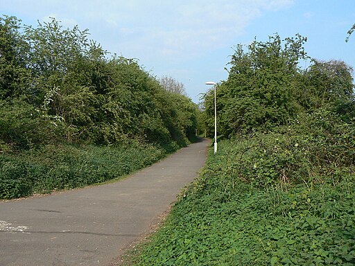
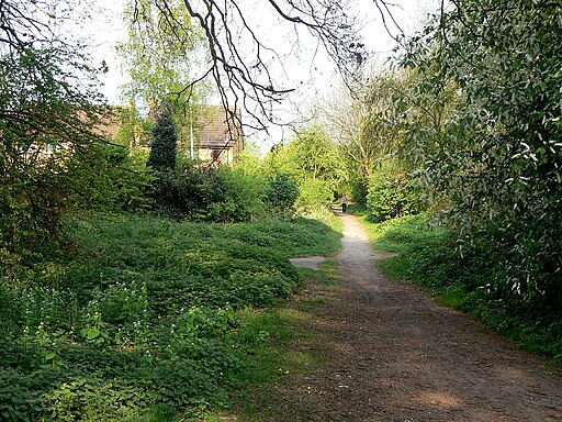
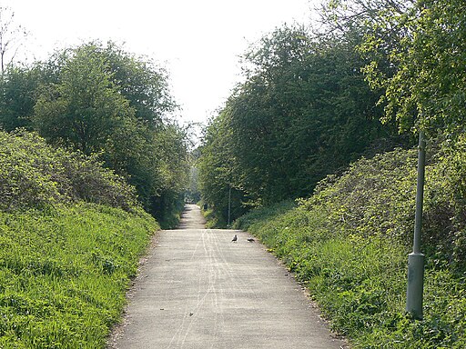
 This walk takes you along a section of the old Charnwood Forest Railway in Loughborough.
The single track railway line ran from Loughborough to Coalville, via Shepshed, Thringstone, and Whitwick. Parts of the track are now public footpaths and cycleways.
This section runs just to the west of the town centre along a surfaced path which is also suitable for cyclists. The flat trail runs for about 1.5 miles, so roughly 3 miles there and back. As such it's a nice easy ride or walk to try in the town centre.
Just west of nearby Shepshed there's another section suitable for walkers where you can see the old Ticklow Lane Bridge. See the open street map below for details of this map around the south western edge of Shepshed.


