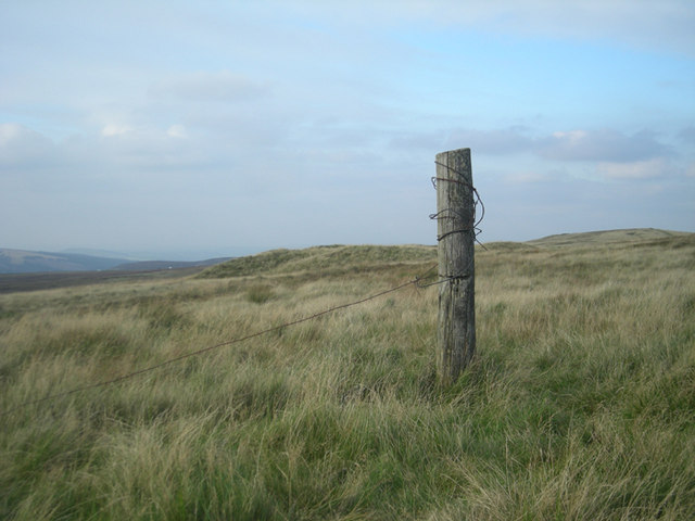
Cheeks Hill Walk
![]()
![]() This circular walk climbs to Cheeks Hill on Axe Edge Moor in the Peak District National Park.
This circular walk climbs to Cheeks Hill on Axe Edge Moor in the Peak District National Park.
The hill sits in a noteworthy location on the border between the counties of Staffordshire and Derbyshire. It is also the high point of Staffordshire and very close to the start of the River Dane at Dane Head.
Start the walk from the car park at Cistern's Clough, just to the east of the hill. From here you can pick up a country lane heading west towards Dane Head where you can pick up the Dane Valley Way. Follow the waymarked path south and it will take you towards the hill top.
From the 520 metres (1,710 ft) summit there are some good views over the area to enjoy.
To extend the walk continue south along the Dane Valley Way to visit the popular Three Shires Head. Here you will find an ancient packhorse bridge located at the point where the counties of Cheshire, Derbyshire and Staffordshire meet.


