Dane Valley Way
![]()
![]() Follow the River Dane through Derbyshire and Cheshire on this fabulous walk from Buxton to Middlewich.
Follow the River Dane through Derbyshire and Cheshire on this fabulous walk from Buxton to Middlewich.
Highlights on the route include the wonderful Three Shires Head where the counties of Cheshire, Derbyshire and Staffordshire meet. Here you will find pretty waterfalls, pools and an old packhorse bridge. Near here you will pass the fascinating deep mossy chasm of Lud's Church. The route also passes through the attractive town of Buxton and the delightful Buxton Country Park.
Here you can enjoy a climb to the Victorian folly of Solomon's Temple and enjoy some wonderful views over the valley. Just west of Buxton there's Axe Edge Moor where you will find the source of the river at the foot of Cheeks Hill.
Near Congleton there's also the lovely Brereton Heath Local Nature Reserve. There's a pretty lake and an abundance of wildlife to see here.
Dane Valley Way Ordnance Survey Map  - view and print off detailed OS map
Dane Valley Way Open Street Map  - view and print off detailed map
*New* - Walks and Cycle Routes Near Me Map - Waymarked Routes and Mountain Bike Trails>>
Dane Valley Way OS Map  - Mobile GPS OS Map with Location tracking
Dane Valley Way Open Street Map  - Mobile GPS Map with Location tracking
Pubs/Cafes
Near Congleton you could stop off at the excellent Swettenham Arms. The 16th century country inn includes a lovely lavender garden where you can enjoy fine food on a summer day. You can find them in Swettenham village at postcode CW12 2LF for your sat navs.
In Holmes Chapel there's the George & Dragon. They serve high quality food from the conservatory restaurant, while outside there's a lovely terrace garden for warmer days. You can find them on Middlewich Road at postcode CW4 7EA.
At Middlewich there's the splendidly located Kings Lock Inn. There's an unusual and charming interior with a bar built in the shape of a narrowboat, closely resembling the one at The Shroppie Fly at Audlem. There's also a nice garden area outside where you can sit and watch the boats go by on a summer day. You can find them on 1 Booth Lane with a postcode of CW10 0JJ for your sat navs.
At Cheshire based Wincle there's the Ship Inn to visit. The historic pub dates all the way back to the 16th century and has a cosy interior with fires to warm yourself by during the colder months. In the summer you can sit outside in the little beer garden. There's a good menu and decent selection of ales at this fine village pub. You can find the Ship at Barlow Hill, Wincle with a postcode of SK11 0QE for your sat navs. Near here you can also visit the excellent Wincle brewery. The site includes a small shop and tasting room where you can sample some of the 'eccentric' ales brewed here.
Cycle Routes and Walking Routes Nearby
Photos
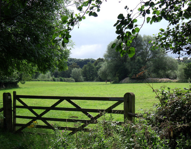
Five bar gate on the Dane Valley footpath, east of Holmes Chapel. The flora and fauna along the Dane Valley Way are characteristic of a thriving lowland riparian ecosystem. The hedgerows and meadows adjacent to the route are lush with wildflowers such as daisies, buttercups, and clover in the spring and summer, creating a colourful backdrop to the trail. Native trees like oak, ash, and willow provide shelter for an array of birds and small mammals, while patches of grasses and sedges support a host of insects, including bees and butterflies that enliven the countryside.
Near Danebridge. The River Dane itself is a gentle, meandering watercourse that flows through the heart of Cheshire, carving out a scenic valley known for its pastoral charm and historic villages. The river's banks are well maintained and support diverse aquatic life, with fish such as roach and dace frequently spotted in its clear waters. Along its course, the river provides important habitat for waterfowl including mallards, coots, and herons, which can be observed quietly foraging along the shore. The natural quality of the river enhances the tranquil atmosphere of the Dane Valley Way, making it a haven for both wildlife and walkers seeking a peaceful escape.
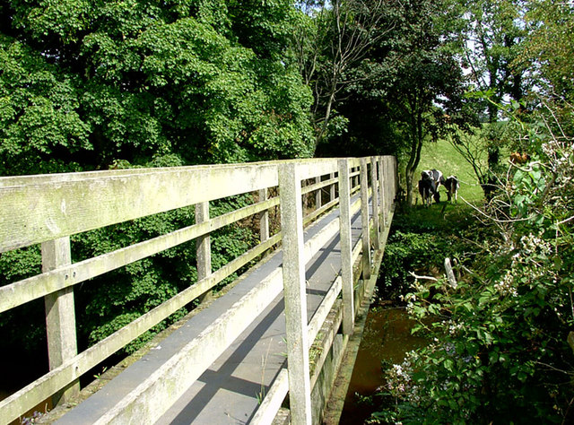
River Dane footbridge. In addition to its rich natural environment, the Dane Valley Way offers an engaging blend of history and landscape. The route passes through quintessential Cheshire countryside, dotted with charming villages and historic landmarks that reflect the region’s rural heritage. Walkers can enjoy panoramic views over rolling fields and gentle hills, while the quiet backroads and country lanes reveal centuries-old field boundaries and traditional stone walls. This combination of scenic vistas, historical features, and abundant wildlife makes the Dane Valley Way a rewarding journey for nature enthusiasts and history lovers alike.
River Dane above Three Shire Heads. Following the footpath to the A54 from Three Shire Heads (part of the Dane Valley Way). The county boundary follows the Dane; to the left is Cheshire, to the right Derbyshire.
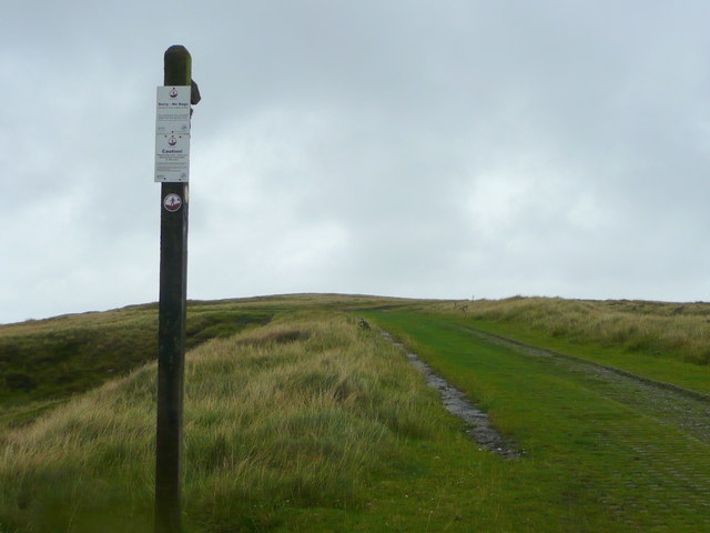
Looking north across Axe Edge Moor.
The elevated moor is the highest stretch of this Long Distance Footpath from Middlewich to Buxton. The view is from late summer.
Weir on River Dane. The River Dane here forms the border between Cheshire and Staffordshire, flowing in a valley traversed by the Dane Valley Way. This weir is 120m upstream from the footbridge (photographer location) near Gig Hall. Peaceful enough most of the time, but when there has been heavy rain on the Pennines - and despite weirs like this - Northwich (32 km downstream as the crow flies) can still get flooded.
Elevation Profile


