Chorley Circular Walk

 This circular walk explores the countryside, canals and parks surrounding the Lancashire town of Chorley. On the route you'll visit Yarrow Valley Country Park and Astley Park while enjoying a waterside section along the Leeds and Liverpool Canal. The route runs for about 9 miles and includes some moderate climbs along the way.
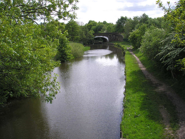
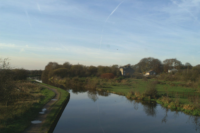
The walk starts from the train station in the centre of town. You can catch trains here pretty regularly from Preston and Manchester. Head east from the stat ion and you will soon come to the canal. Follow the pleasant towpath south and it will take you towards Heath Charnock and Adlington.
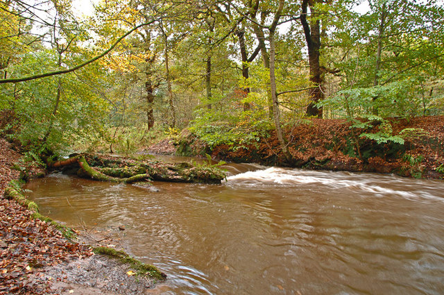
Near Adlington the route leaves the canal and heads west through the countryside on public footpaths. You bend round to the north west to visit Drybones Wood and Yarrow Valley Country Park. There a nice waterside section here along the River Yarrow and along the pretty lake in the park. The park is also a nature reserve and a good place to spot birds in the woodland or on the lake.
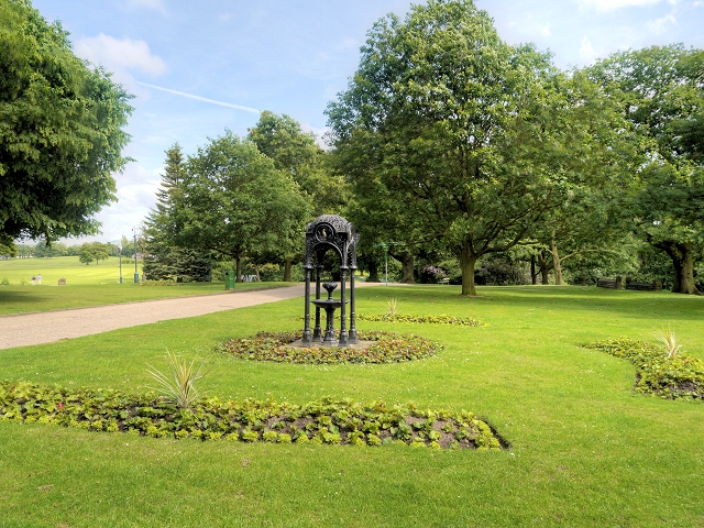
The trail then heads north past the Yarrow Valley Golf Course towards Astley Village where you enter Astley Park. The park includes the Jacobean Astley Hall, a lake and some nice woodland trails.
Head east through the park and you will soon return to the train station where the route ends.
Chorley Ordnance Survey Map  - view and print off detailed OS map
Chorley Open Street Map  - view and print off detailed map
Chorley OS Map  - Mobile GPS OS Map with Location tracking
Chorley Open Street Map  - Mobile GPS Map with Location tracking
Walks near Chorley
- Leeds and Liverpool Canal - Enjoy waterside cycling and walking along Britain's longest single canal
- Yarrow Valley Country Park - Enjoy a long, waterside walk along the River Yarrow in this splendid 700 acre country park in Chorley, Lancashire
- Astley Park - This pretty park in Chorley has walking paths and a cycle track to enjoy
- Chorley Canal Walk - Enjoy a waterside walk from Chorley to Adlington along a pleasant section of the Leeds and Liverpool Canal
- Anglezarke Reservoir - This circular cycle and walk loop takes you around the pretty Anglezarke Reservoir near Chorley
- Healey Nab - Enjoy woodland, rolling hills, moorland, ponds and streams in this elevated area of countryside above Chorley
- Rivington Country Park - This lovely country park is on the edge of the West Penine Moors and makes for a fine afternoon's cycling with its reservoirs, woods and splendid scenery
- Rivington Pike - This popular walk climbs to the Rivington Pike viewpoint in the lovely Rivington Country Park, near Bolton.
- Rivington Reservoir - Enjoy a stroll along the Rivington Reservoirs on this waterside walk in Rivington Country Park, near Bolton.
The walk starts from the Rivington Hall Barn car park at the southern end of the lower reservoir - Duxbury Woods - Enjoy a walk along the River Yarrow and through Duxbury Woods on this easy route in Chorley
- Cuerden Valley Park - This lovely short ride or walk takes you through the Cuerden Valley Country Park in Bamber Bridge, Lancashire.
- Brinscall - This pretty village is located near Chorley in the county of Lancashire
- Abbey Village Reservoir - This walk visits the Abbey Village Reservoir near Abbey Village in Lancashire
- Withnell Nature Reserve - This walk visits the Withnell Nature Reserve in Brinscall, Lancashire.
- Euxton Yarrow River Circular - This circular walk explores the woods, riverside paths and countryside around the Lancashire village of Euxton.
Pubs/Cafes
Head to the Prince Of Wales for some refreshments after your walk. The friendly pub has a good range of ales and a nice beer garden to relax in on warmer days. You can find the pub on Cowling Road at a postcode of PR6 0QE for your sat navs.
On the route you could also stop off at the on site cafes at Astley Hall or Yarrow Valley Country Park.
Dog Walking
The area is great for dog walking and The Prince Of Wales pub mentioned above is also dog friendly.
Further Information and Other Local Ideas
Head east from town and you can extend your walk at Healey Nab. The elevated area is a popular place for walkers with woodland, rolling hills, moorland, ponds and streams to enjoy. Near here you'll also find Anglezarke Reservoir which has some nice waterside footpaths to try.
Rivington Country Park and the wonderful climb to Rivington Pike are located just to the south east of the town.
For a circular cycle ride through the area see the Chorley Loop Cycle Route page.
